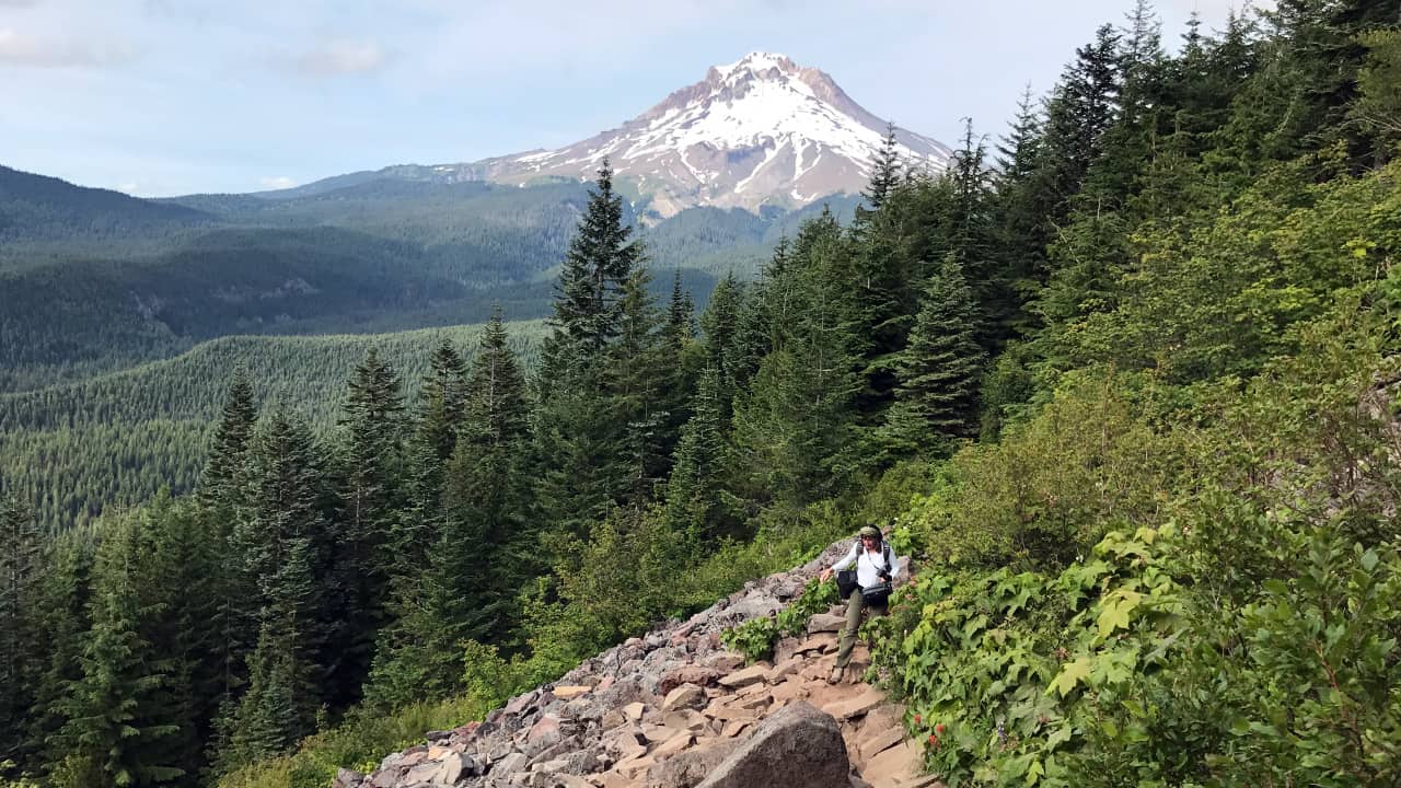
Sitting in the shadow of Mt. Hood, the Salmon-Huckleberry Wilderness welcomes hikers, anglers and backcountry campers seeking the solitude of its moss-carpeted, old-growth forest. The 62,455 acres are situated on the southern side of Mt. Hood in the Mt. Hood National Forest. Despite being an easy day trip from Portland, the area receives few visitors, even on the weekends. You can hike along the Salmon River, the only river in the Lower 48 designated as Wild and Scenic for its entire length. The wilderness area also boasts some unique rock formations including pinnacles and volcanic plugs, which are remnants of hardened magma inside volcanic vents. Most trails wind through a dense forest of Douglas firs, Western red cedars and Western hemlocks, though ambitious hikers can climb above the tree line for panoramic views of several Cascade peaks.
While there are dozens of hiking options for every fitness level, these hikes come highly recommended by rangers in the know.
Easy Hike to River
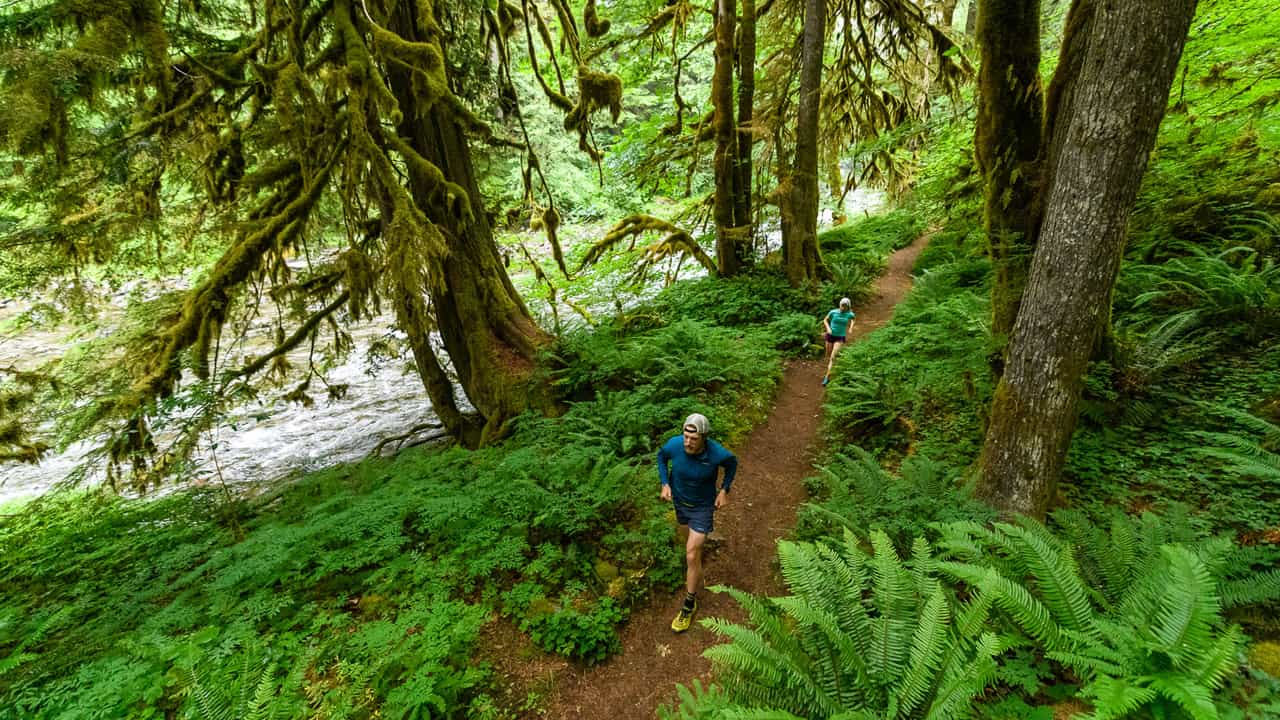
The first 2.5 miles of the Salmon River Trail (from west to east) is most ideal for novice hikers. It leads through a thick, old-growth forest and parallels the pristine Salmon River. But as the 14-mile (one-way) trail continues, know that it does get more difficult with a climb from the river’s edge to the bluff overhead for an elevation gain of 1,800 feet.
Moderate Hike to Alpine Lake
A favorite among photographers, the Mirror Lake Trail is a perfect spot for classic shots of Mt. Hood reflecting on the glacial cirque lake. From the trailhead, it’s a 1.9-mile hike to the lake and then a half-mile loop around it. If you have the stamina, continue another 1.9 miles on the rougher section of the trail. Know that the last 200 yards are steep and rocky, but you’ll be rewarded with panoramic views from the ridgetop of Tom Dick and Harry Mountain.
Strenuous Hikes to Mountain Views
For the most die-hard hikers, the 7.4-mile (round-trip) Boulder Ridge Trail promises jaw-dropping views of the Salmon River Valley and Mt. Hood on a clear day. Just be prepared for the lung-busting 2,600-foot elevation gain.
You’ll get another good workout on the 6-mile (round-trip), out-and-back Cool Creek Trail with its elevation gain of 3,000 feet. Most of this trail is forested, but there are a few breaks in the trees that yield Mt. Hood views, particularly toward the south end. With just a slight detour west at the junction with the Hunchback Trail, you’ll find yourself at the historic Devil’s Peak Lookout. Still have steam? Head east on the Hunchback Trail to Kinzel Lake, making the hike over 10 miles.
Fishing
The Salmon River is habitat for steelhead as well as chinook and coho salmon. In general, only catch-and-release fishing is allowed along the streams and rivers in this wilderness area. Anglers also enjoy Mirror Lake and Plaza Lake, both high-elevation lakes that are periodically stocked with brook, rainbow and cutthroat trout. Lakes have a five-fish-per-day limit. Make sure to review all angling regulations before you go.
Backcountry camping
There are lots of opportunities for backcountry camping, also known as dispersed camping. You can enjoy any spot in the wilderness area as long as it’s not designated for another use, it’s at least 100 feet away from a road or trail and it’s at least 200 feet away from any shoreline.
Before You Go:
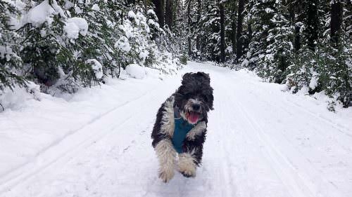
Before setting out for the day, download trail maps, check the weather forecast and pack your Ten Essentials for hiking, including plenty of water. Dogs are permitted on the trails, but they must be in control of their owners at all times. Visitors need a Northwest Forest Pass year-round and a free self-issued wilderness permit for some trailheads (May 15-Oct. 15). Call the Zigzag Ranger District at 503-622-3191 for additional advice. Wherever you go, be sure to follow Leave No Trace principles in Oregon’s natural areas.