

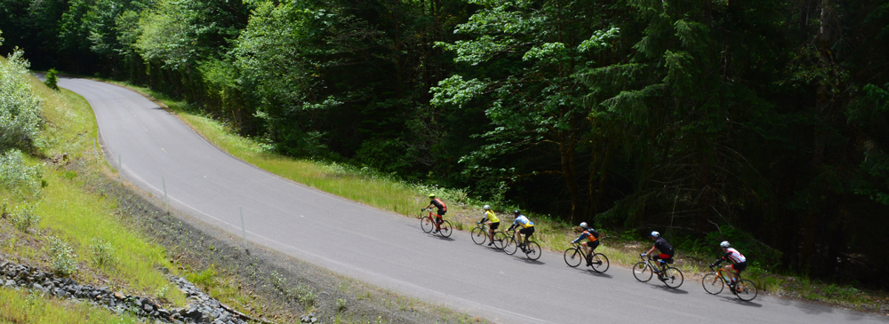
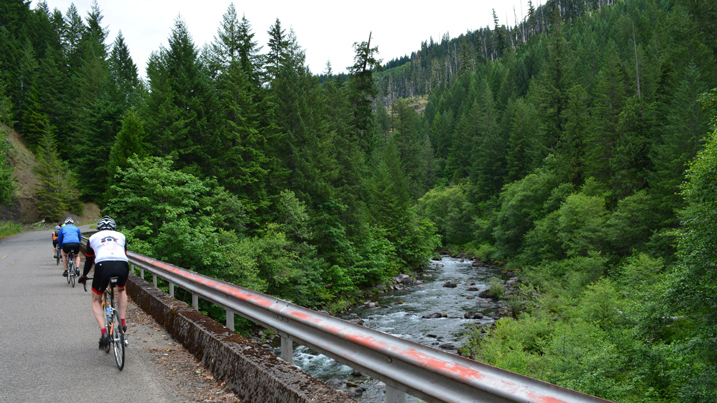
If you had to choose one route to exemplify Oregon road biking, you couldn’t go wrong with the Aufderheide (OFF-der-HY-dee) Scenic Bikeway. Climbing one pass and then descending another, following one stream up and another one down. Gliding through a dense and majestic forest, on a road that’s typically quiet enough to only hear the birds, the water and the wind. A ribbon of smooth pavement unrolled ahead of you like a magic carpet. This is a peak Oregon riding experience.
Also known as Forest Road 19, the Aufderheide has been christened a National Scenic Byway, a Scenic Waterway and, in 2024, Oregon’s 18th Scenic Bikeway. But even with this triple crown of recognition it’s not overrun, which is a reason to go ride it at your first opportunity.
You can enjoy the Aufderheide equally riding in either direction. The towns of Westfir and Oakridge lie at the south end of the route, and the hamlets of Blue River, Rainbow and McKenzie Bridge stretch out on Highway 126 along the legendary McKenzie River on the north end.
The two most popular ways to ride it: 1) Start at the McKenzie/Hwy 126 terminus and ride to Westfir. Stay at the bike-centric Westfir Lodge; that evening you can explore nearby Oakridge for a fine craft beer and a meal, and then ride back over the top the next day; or 2) Pick one end to start, ride to the top, then turn around and cruise back down to where you started.
For the purposes of description, we’ll start at the north end. But do note that you’re going to climb upwards of 4,000 feet in either direction; that’s one reason this is rated “extreme” as a bikeway.
From Highway 126, you get a nicely flat half-mile stretch to warm up, before beginning a curvy, gentle ascent of about 3 miles through the trees, climbing up to the height of Cougar Dam. There’s a great overlook point at the dam, perfect for capturing a photo (or catching your breath; you can say you stopped for the pic).
Next you’ll pedal 6 miles along the edge of Cougar Reservoir, a sparkling expanse of clear blue that captures water from the South Fork of the McKenzie River. You’d think a lakeshore might be flat, but on this road you’d be wrong – expect some testy big rollers as you play peek-a-boo with lake views.
At the south end of the reservoir, Terwilliger Hot Springs (7.5 miles in) might be worth your time to stop and check out. This clothing-optional series of soaking pools requires a small USFS entry fee and a relatively short hike from the road. Especially if you’re heading down at the time, it’s a great place to relax and drain some lactic acid before you finish.
Speaking of stops, the Aufderheide offers a bounty of trailheads and isolated campgrounds, if you’d like some bike/hike duathlon action or want to make a multiday bikepacking excursion out of your ride. Choose from a half-dozen camping sites on or near the road, and more than 25 trailheads.
Highlights along the way include a replica log cabin at Box Canyon Guard Station (26 miles in), a memorial to the road’s namesake, Robert Aufderheide. About 4.5 miles farther into the route is the Constitution Grove, where you can contemplate the span of the 200 years these massive trees have been growing here.
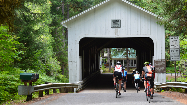
You can see a historic covered bridge at both ends of this route. Only a couple miles from the starting point is Belknap Covered Bridge, an 1890 build on the side road through the community of Rainbow. As you roll down into Westfir near the end of the route, on the right you’ll see the Office Covered Bridge, built in 1944 (57.8 miles in). It’s not only the longest covered bridge in the state at 180 feet; it’s also one of the most handsome and best preserved. You’re definitely going to want to ride over (and through) it.
Forest Road 19 ends at Highway 58, a couple miles west of Oakridge – a burg that’s seen a massive transformation from a dying timber town to a thriving hub for mountain biking. It’s worth a stop for a meal, a drink, or both.
No matter how you ride the Aufderheide, you’re going to come away with a deep appreciation of this quintessential piece of Oregon riding. It’s an immersion into the wonders of the Cascade Range – as you ride, it’s just forests, rivers, the road and you.
More resources:
Find more to see and do near this Bikeway at Eugene, Cascades & Coast.
Road conditions: In addition to visiting TripCheck.com, please contact the USFS McKenzie River Ranger Station and Middle Fork Ranger Station for current information.