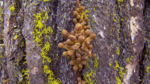
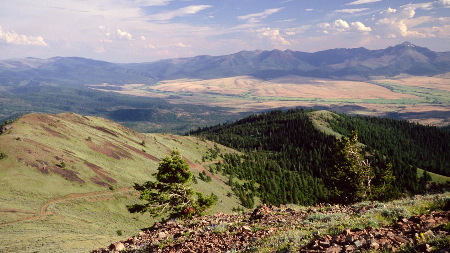
At 1.7 million acres, the sprawling Malheur National Forest in Southeastern Oregon spans three counties, blankets the Blue Mountains, and contains a pair of federally designated wilderness areas and Wild and Scenic Rivers within its borders. It’s also home to the largest living organism on earth: a largely underground fungal mass more than 2 miles wide, dubbed the Humongous Fungus. (If you’re hoping for viral video stardom, know that the fungus is mostly hidden from view and its mushrooms pop up for only a short time. The most visible sign is fallen fir trees — the fungus infects and kills them.)
Don’t let the malheur (French for “misfortune”) of French fur trappers who lost a cache of furs dissuade you from exploring the forest’s unique attractions, dipping your toes in its crystal-clear lakes, or spending the night in a tent, cabin or fire lookout far off the beaten path. Here’s how to enjoy the remarkable Malheur National Forest all year long.
Hike, Volunteer and Camp in the Forest
The 26-acre Cedar Grove Botanical Area – about 35 miles southwest of John Day – is the nation’s only stand of Alaska yellow cedar east of the Cascade Range. Experts believe that cooler, wetter weather thousands of years ago made it possible for the species to survive and adapt to Eastern Oregon’s warm, dry climate today. The 1-mile Cedar Grove National Recreation Trail affords excellent views of the rare trees.
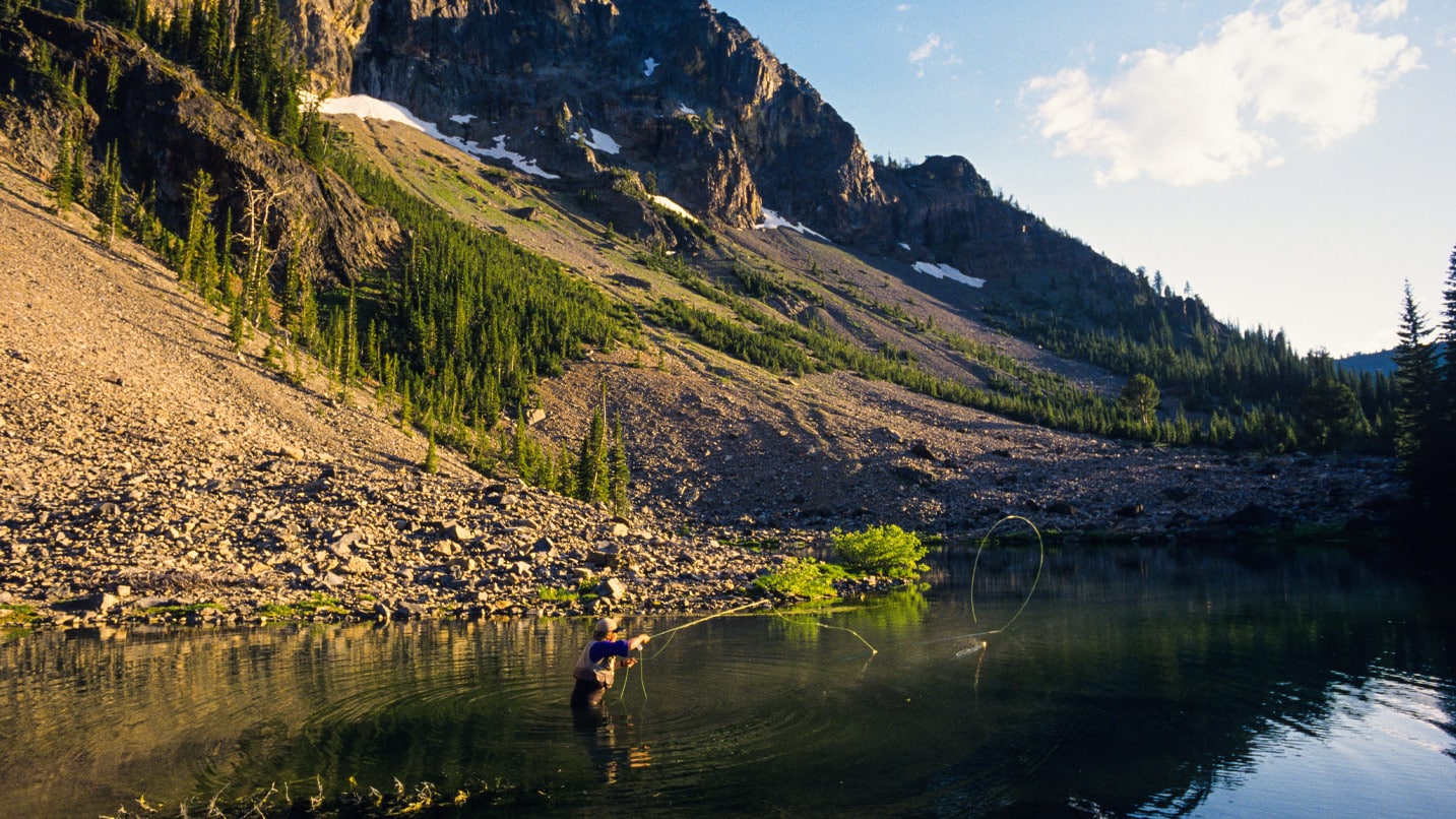
You’re already far from the crowds when you visit the Malheur. For even more solitude, spend a night or two at the quiet Delintment Lake Campground. The campground sits on the lakeshore in a forest of old-growth ponderosa pine, with 29 tent and RV sites (first come, first served), access to trails, a fishing pier, and a boat launch for nonmotorized craft.
In recent years, the Malheur National Forest has partnered with the Oregon Chinese Diaspora Project to research 1800s-era mining outposts and lumber camps that were populated largely by Chinese and Japanese immigrants.
When to Visit
Year-round outdoor opportunities abound throughout the forest. Here’s how to make the most of each season.
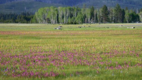
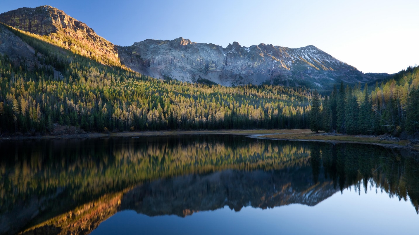
Summer: Nearly 250 miles of trails wind through the forest, and there may be no more idyllic trek than the 6.6-mile (round-trip) Strawberry Lakes Trail. The trail gains about 1,200 feet as it ascends through a forest of fir and ponderosa pine, affords sweeping views of the Strawberry Mountains, passes the quiet Strawberry Lake, showcases views of the 50-foot Strawberry Falls, and hits its turnaround point at Little Strawberry Lake.
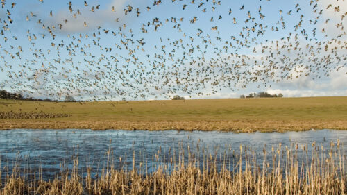
Autumn: Autumn is typically the forest’s busiest season (popular for elk hunting), and many campgrounds fill to capacity on weekends. In late October and early November, the needles of western larch trees turn a vibrant shade of yellow throughout the forest. Be sure to wear blaze orange if you plan to be in the woods during hunting season.
Winter: County roads and state highways are plowed in winter, but forest service roads are not — creating many miles of bucolic cross-country and snowshoe trails, as well as hundreds of miles of groomed snowmobile trails that remain only lightly used all winter long. Central Oregon Rentals in Bend rents snowmobiles with trailers.
Spring: Camping options abound with more than 30 campgrounds, a third of which are free of charge. Other overnight options include cabin rentals and the Fall Mountain Lookout. (Book early for the lookout, up to six months in advance.) And all those forest service roads, finally free of snow, offer excellent terrain for gravel cycling.
Come Prepared
Before visiting (and after committing to Take Care Out There), you’ll want to keep a few tips in mind for a safe, enjoyable outing.
Plan ahead: Cell service is spotty in much of the Malheur, so consult paper maps (not just a mobile app) and check in with a nearby ranger district office before heading off into the Malheur backcountry.
Prepare for tough trails: With so much ground to cover, U.S. Forest Service staff can only do so much to clear debris and maintain trails, especially in spring and early summer. Be sure to check trail conditions with the appropriate ranger district office before deciding on a hike.