The sun’s rays burst through the Douglas fir trees in Portland’s Forest Park, warming the cool morning air. As I saunter along the trail, a familiar face comes toward me at a fast pace. It’s my old friend Yassine Diboun, a world-traveling, sponsored trail runner, with several young campers in tow. He greets me with an enthusiastic smile and says, “Hey, Guy!” but he has no time to talk. Diboun is on a mission.
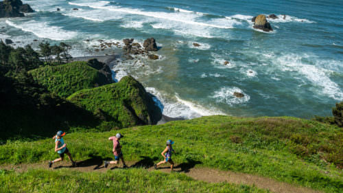
He and his business partner, Willie McBride, operate Wy’east Wolfpack, a Portland-based organization dedicated to personal training, corporate wellness and youth programs. Come summer, they lead trail-running camps that get kids outdoors. There they elevate their heart rates, learn trail etiquette and discover the old-growth trees of Forest Park and watersheds of Tryon Creek State Natural Area.
“I never feel rushed,” says frequent Wy’east camper Meryl Gumke. “And it’s nice running under the shady trees in the forest,” adds her brother, Noah.
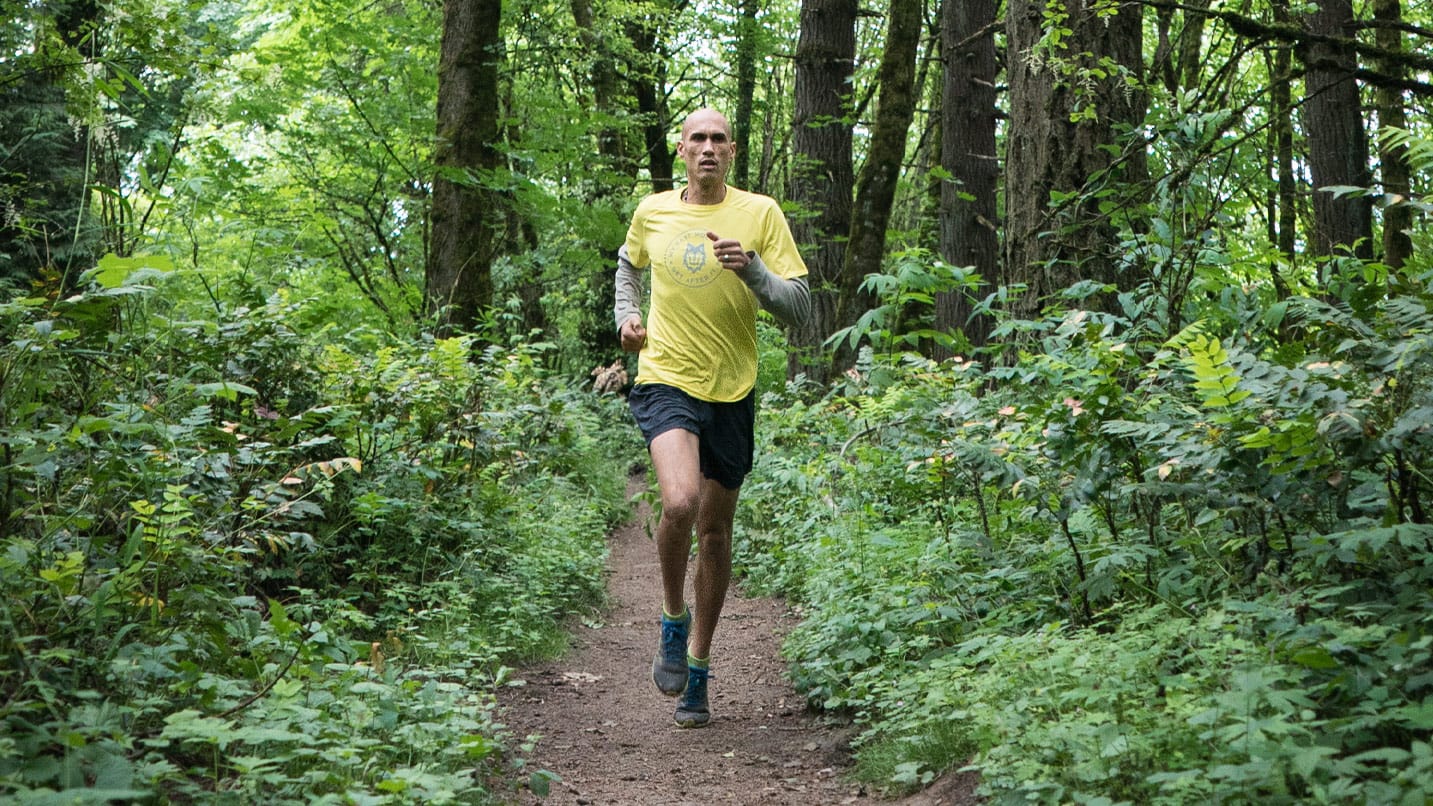
When not guiding people from all walks of life, Diboun occasionally walks during parts of his other job: as a professional ultramarathoner in the Ultra-Trail du Mont-Blanc. This grueling 106-mile race around Mont Blanc in Europe brings together elite athletes from around the world to compete in what many liken to the Super Bowl of trail running. Yet Diboun admits there’s still no place like home in Portland.
“It’s amazing how you can run up from the city, with all its urban grit,” he’ll tell you, “then head into Forest Park, where it’s technicolor green, with dew dropping off pine needles, and hear birds singing.”
Whether it’s running through thickly wooded hills outside the city, atop ridges of the Columbia River Gorge or in the Tillamook forest, Diboun never finds a shortage of trails here. Below are some of his favorites in Portland, the Mt. Hood and Columbia River Gorge region and the Oregon Coast.
Forest Serenity in Southwest Portland
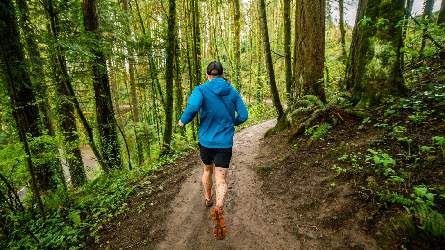
When short on time, city dwellers escape for an easy-to-moderate run on the Marquam Trail in Southwest Portland. It meanders through an old-growth forest filled with Douglas fir and western cedar trees, lush native ferns, and in springtime, trillium and violets. For more of a workout, up your pace over the 3-mile climb to Council Crest and view four peaks on a clear day. Find limited parking at the trailhead off Terwilliger Boulevard, or on weekdays, take TriMet Bus 61, 64 or 65 there.
Scenic Uphill Route to Pittock Mansion
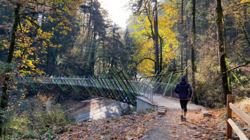
Set out from Portland’s city center and the urban commotion disappears — appreciate the serenity and the steady beating of your heart as you run the 5-mile out-and-back Lower Macleay Park to Pittock Mansion Trail. The views are worth it on this challenging climb as you take in the sights of downtown Portland peeking between towering Douglas fir trees. The Pittock family’s mansion — where you can reserve a tour when you’re not running — has lovely grounds for a cool-down walk, as well.
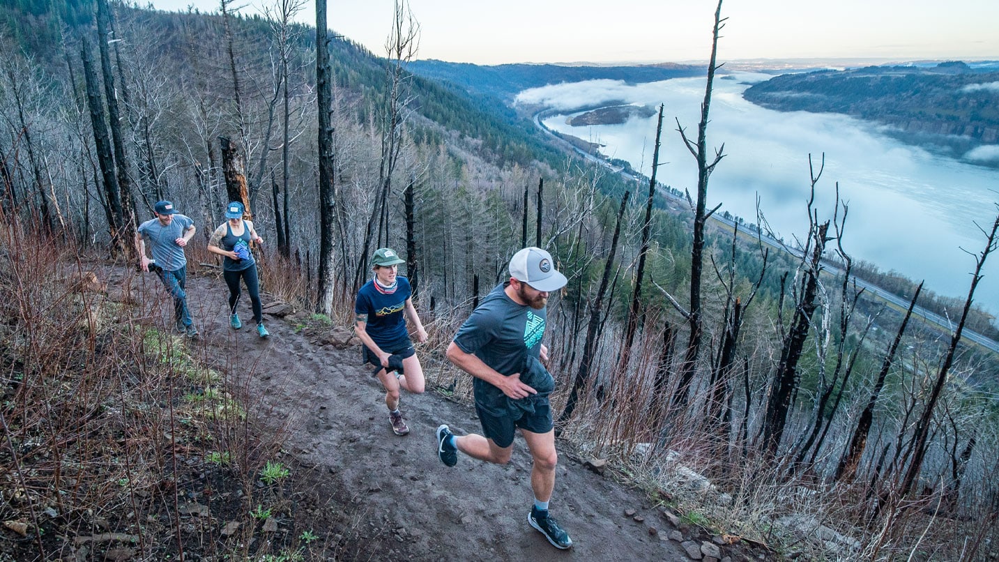
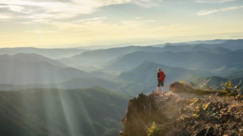
Above the Clouds in the Columbia Gorge
A Columbia River Gorge favorite, the 4.8-mile Angel’s Rest Trail near Corbett starts at river level and rises steeply over a 10% to 15% grade. You’ll enjoy snowmelt creeks and the rushing waters of Coopey Falls on the way. It’s all just a warmup for the unspoiled views from the sharp, jutting cliffs up top. Carefully take in the same bird’s-eye view as the red-tailed hawks that drift on the winds here. The parking lot fills up quickly, so arrive early or go midweek.
A Trail With Mt. Hood Views
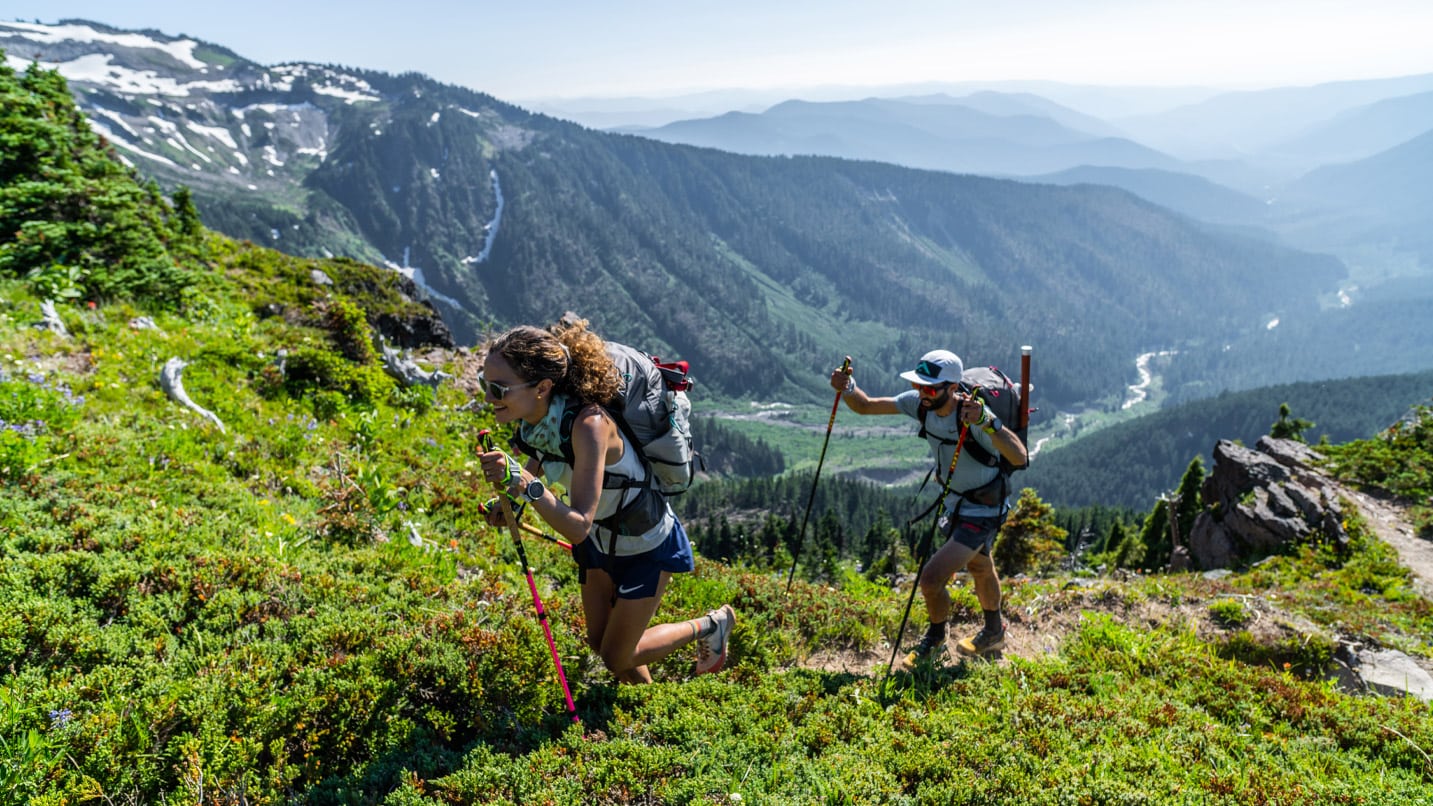
With a craggy western-facing Mt. Hood panorama, meadows bursting with lupine, and a Civilian Conservation Corps-era backcountry shelter, what’s not to love? The elevation gain. The 10-mile-long Top Spur to McNeil Point out-and-back route starts out steadily at first. But once you get above the treeline things rise quickly. Stop at the shelter to eat lunch and drink in the view. The trail should be snow-free between July and September.
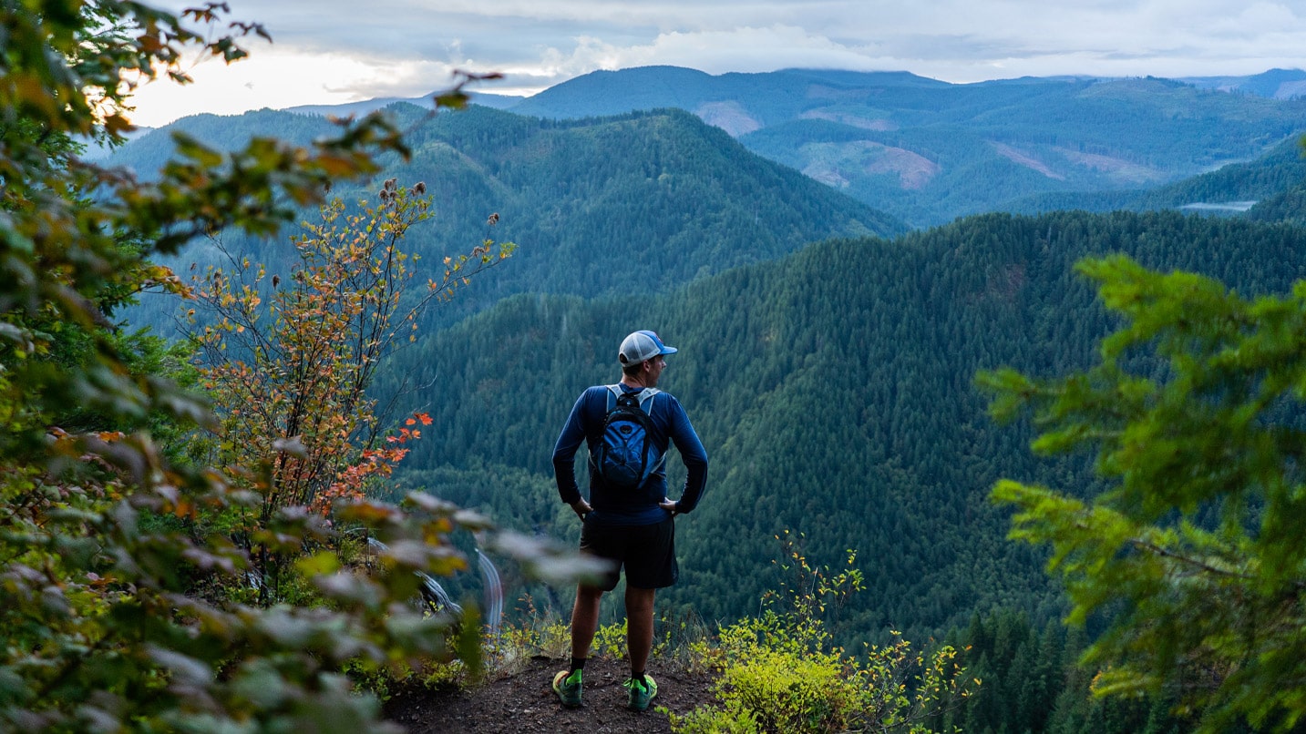
Big Trees Near Tillamook
There are two ways to explore the hilly terrain of the misty green, cloud-shrouded Tillamook State Forest — one fast, the other slow — both beginning at the Kings Mountain Trailhead 40 miles west of Portland. For the first, arrange a car shuttle downstream at Jones Creek Trailhead to enjoy a rolling, moderate 7.5-mile run through the Wilson Creek Watershed with its dry hillsides and wet alder groves. Or get some challenging vertical in — as Diboun does on the 4.5-mile Kings Mountain Trail, which he uses as training for the steeply rising Alps.
If You Go:
Remember to be respectful of hikers sharing the trail and run with a partner. Always carry the Ten Essentials for trail running. For parking, check the website of your destination for any passes needed — many trailheads require a Northwest Forest Pass.