


Forged by floods and lava flows, the 80-mile-long Columbia River Gorge National Scenic Area is an iconic site millions of years in the making. It’s where you’ll find the highest concentration of waterfalls in North America, viewpoints that peer into the teeth of the rugged river canyon and wildflower blooms that blanket meadows in vibrant purples, reds and yellows every spring.
Hundreds of miles of trails pass these sites throughout the Columbia River Gorge, making it a world-class destination for hikers from all skill levels. Here are some of the region’s top trails.
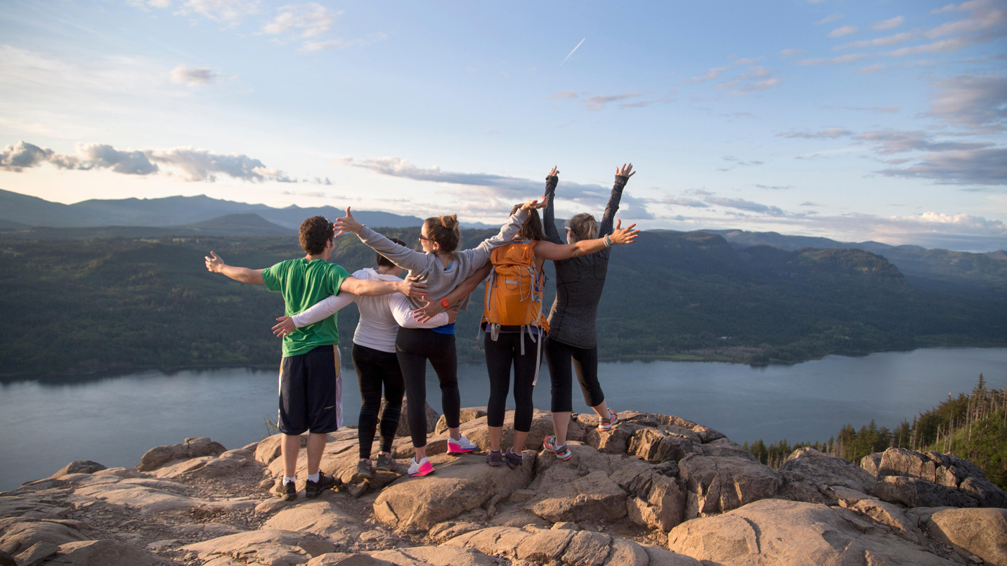
Savor the Sights From Sweeping Viewpoints
The Columbia River Gorge is home to big crags and even bigger views. Take it all in on these epic hikes. The Larch Mountain Crater Loop Hike, roughly 40 miles east of Portland, descends into the heart of the extinct volcano’s crater. At the end of the 6.3-mile, round-trip trek, ascend to the summit of Sherrard Point, where 120 stairs lead to a viewpoint that encompasses Mt. Hood, Mt. Jefferson and other Cascade peaks.
The 4.8-mile, round-trip hike to the summit of Angel’s Rest heads through a forest of ferns and Douglas fir. Hikers who reach the top of the bluff enjoy views that include Portland — roughly 26 miles to the west — and the Vista House, which sits atop the basalt Crown Point.
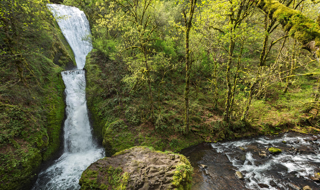
Bask in the Region’s Thundering Waterfalls
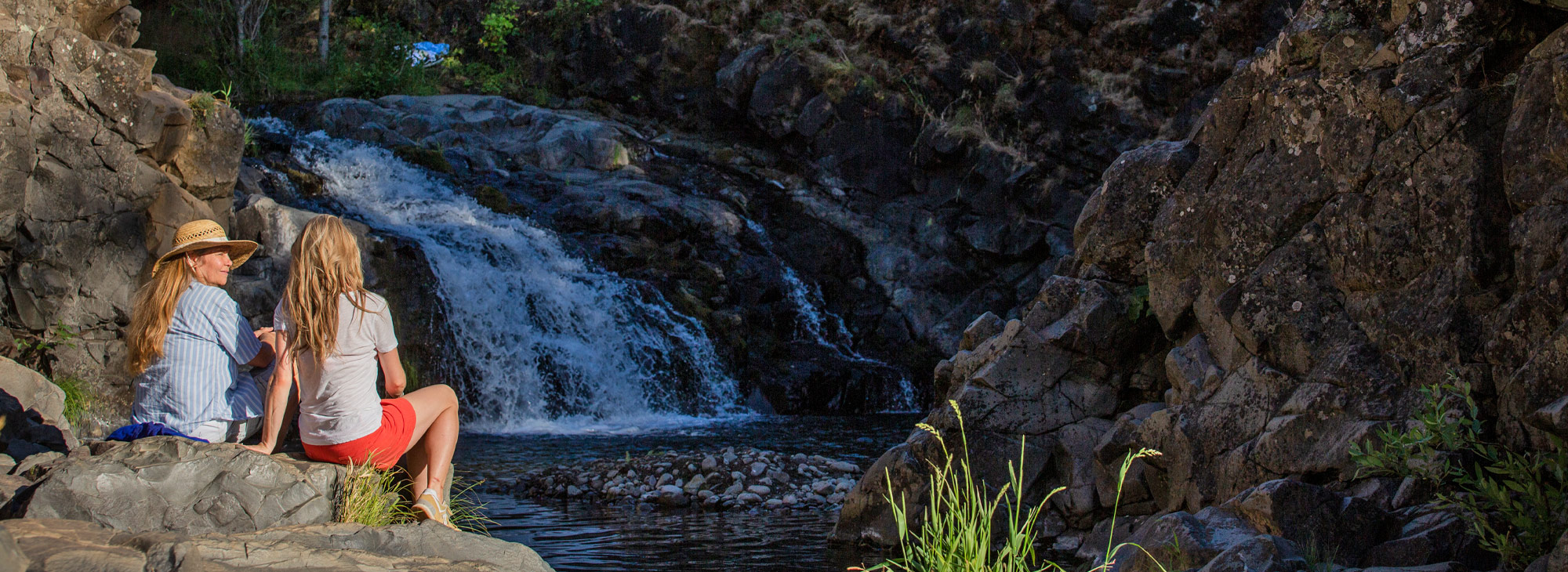
The Columbia River Gorge is synonymous with waterfalls, and you can visit some of the most iconic ones on these dynamic hikes. If you’d rather leave the car at home to avoid parking hassles, the Columbia Gorge Express connects Portland to Hood River and includes stops in Cascade Locks and at Multnomah Falls. Elsewhere in the Gorge, Gray Line’s Waterfall Trolley provides hop-on, hop-off service at 10 popular stops — including Latourell Falls, Angel’s Rest and Multnomah Falls — between the Crown Point Country Historical Society in Corbett and Ainsworth State Park. The Sasquatch Shuttle is another convenient option, offering dog-friendly rides to Multnomah Falls and a narrated driving tour of the area’s popular waterfalls.
One popular trail is the Latourell Falls Loop Hike, a 2.4-mile, round-trip trek that passes two cascades. The trail’s namesake waterfall tumbles more than 200 feet in an amphitheater of columnar basalt. The parking area is about 30 miles east of Portland.
Just 2 miles east, you’ll find the stunning Bridal Veil Falls State Scenic Viewpoint, where a 0.6-mile, round-trip hike descends to the base of the two-tier Bridal Veil Falls as it drops 120 feet through a moss-covered canyon.
The 4.4-mile, round-trip hike to Dry Creek Falls begins from the western edge of downtown Cascade Locks. From there hikers follow a section of the Pacific Crest Trail before taking a spur path to the base of the 75-foot plume, which falls against a curtain of columnar basalt.
For visits to Oregon’s most popular waterfall destination, Multnomah Falls, be aware that timed-entry permits are required for most daytime visits between late May and early September. Try reaching the trailhead early in the morning or in the late afternoon, and aim for a midweek trip.
See Colorful Wildflowers in Spring
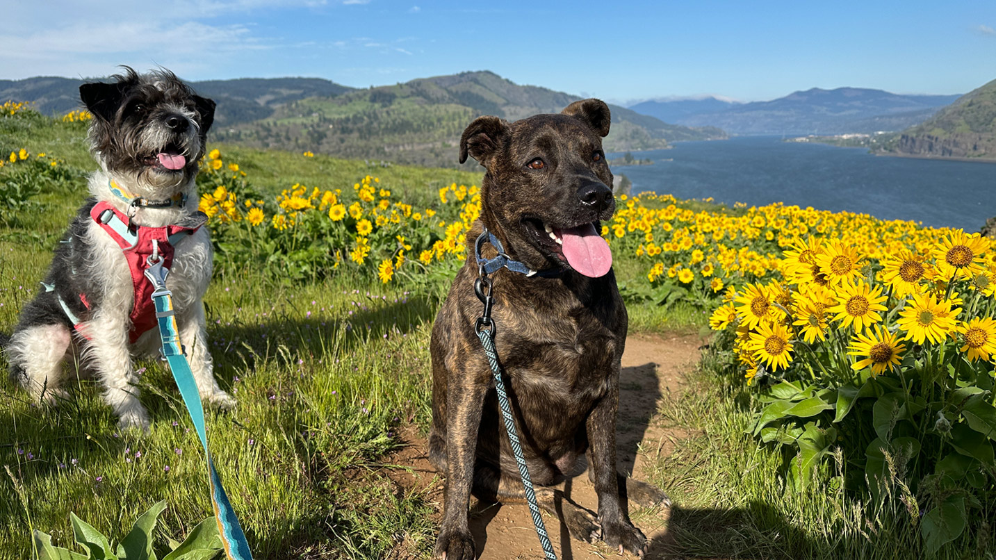
According to the U.S. Geological Survey, more than 800 species of wildflowers grow in the Gorge — roughly a dozen of which are found nowhere else on Earth. See some of the richest displays from along these trails between March and May.
Just 7 miles east of Hood River, the 3.5-mile, round-trip Mosier Plateau Trail ascends wide-open hillsides dotted with yellow arrowleaf balsamroot, Columbia desert parsley and another 30 or so species of wildflower.
Roughly 15 miles east of The Dalles, the Deschutes River State Recreation Area resides where its namesake waterway flows into the Columbia River. The park’s 23-mile, round-trip Deschutes River Trail follows a former railbed along the river while affording views of purple shooting stars, balsamroot and other wildflowers.
Note that rattlesnakes may be present along these paths. Stay on the trail at all times, and avoid climbing over logs without first checking the other side.
If You Go:
- Before heading out on any hike, be sure to pack the Ten Essentials, which include navigation aids, water and sun protection.
- You’ll also want to practice the seven Leave No Trace principles, which include properly disposing of waste and staying on official paths.
- Most of the region’s most popular trails have opened after the 2017 Eagle Creek Fire, but respect any posted closures — and visit the Ready Set GOrge website for updates on what’s open.
- Visit the Oregon Department of Transportation’s Columbia River Gorge Construction webpage for updates on construction projects along the Historic Columbia River Highway, and use its TripCheck tool for wildfire info and other alerts, including live traffic webcams.