


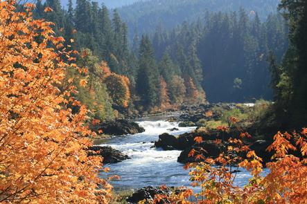
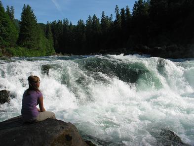
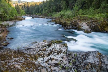
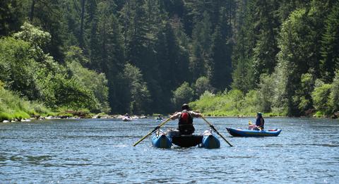
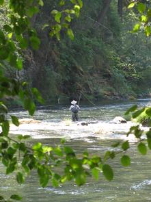
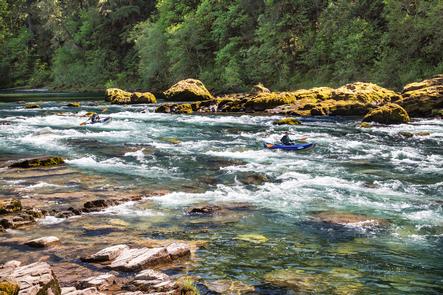
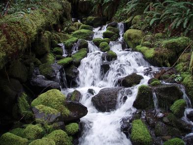
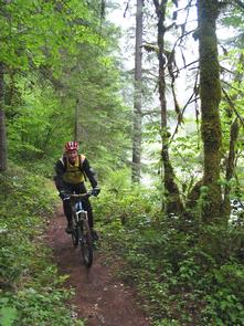
Within this beautiful corridor, there are world-class fly-fishing opportunities, exhilarating whitewater for rafters and kayakers, picture postcard scenery, a recently renovated 31-unit BLM campground, and a hiking and biking trail, which follows the river for the entire length of the corridor and beyond. The western portion of the corridor (about 8 river miles, or 11 trail miles) is administered by BLM’s Roseburg District; the remaining area is within the Umpqua National Forest, administered by the U.S. Forest Service (USFS). Beyond the corridor lies majestic Crater Lake, managed by the National Park Service.
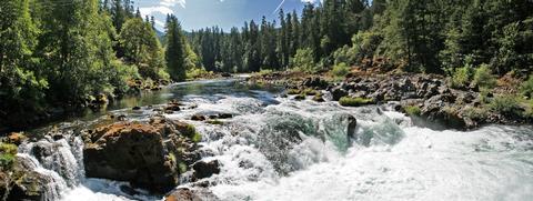
In 1988, Congress designated 33.8 miles of the North Umpqua River as a Wild and Scenic River with a “recreation” classification. It begins at the confluence of Rock Creek (rivermile 35.5) near Swiftwater Bridge and ends at Soda Springs (rivermile 69.3). There are five resources listed as “Outstanding Remarkable Values: Fish, Water, Recreation, Scenery, and Cultural Resources. The Roseburg BLM, Umpqua National Forest, and State of Oregon manage this magnificent river.