


The southwest-tending drainage of Mill Creek makes up 85 percent of the Wilderness, with Marks Creek drainage accounting for the difference. Both creeks are tributaries of Ochoco Creek, and home to small trout. The steep, broken ridges that drop into Mill Creek rise to Bingham Prairie in the northwest corner, a virtually flat plateau with open meadows and a lodgepole pine forest.
In 2000, a lightning caused wildfire burned over half of the 17,4000 acre Wilderness. Though much of the fire burned at a stand replacement, high intensity, the area is quickly recovering and there are still some examples of an exemplary climax forest (one that has reached its peak of growth) of ponderosa pine, providing habitat for elk, mule deer, bobcats, mountain lions, and the occasional black bear.
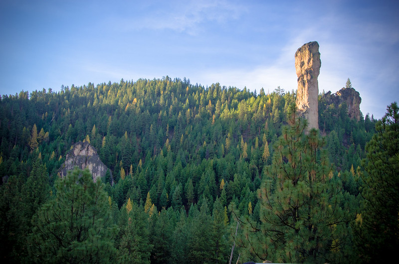
Mill Creek Wilderness resides within the 40 million year old Wildcat Mountain Caldera. Two eroded volcanic spires distinguish the northwest-central portion: Twin Pillars, with vertical walls rising 200 dramatic feet above the forest is a rhyolite intrusion into the caldera, and 400-foot Steins Pillar, just outside the southwestern boundary is an erosional remnant of the Tuffs of Steins Pillar that filled the caldera basin. North of Twin Pillars lays the rugged, rocky Desolation Canyon, aptly named since its lack of trails discourages most human visitors.
Four trailheads provide access to approximately 18 miles of trails, each located adjacent to small, rustic campgrounds. The trails can be accessed at Twin Pillars North Trailhead, Twin Pillars South Trailhead, Wildcat North Trailhead and Wildcat South Trailhead.
- Elevation: 3,700′ to 6,200′
- Key access points: Trail and trailhead access information
- Trail Map: View a Mill Creek Wilderness trail vicinity map (.pdf)