


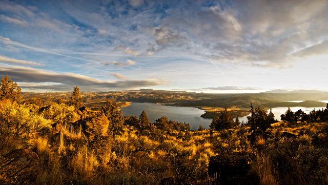
The Arthur R. Bowman Dam is an earthen fill structure on the Crooked River that has created the Prineville Reservoir. The main input streams are the Crooked River and Bear Creek with lesser streams (Sanford Creek, Deer Creek, Alkali Creek, Antelope Creek, and Owl Creek) and the output stream is the Crooked River. The reservoir is for irrigation and flood control, which has allowed for all types of water recreational activities in the heart of high desert juniper and sage. The reservoir is open the year round and because of its location it is a great place for ice fishing.
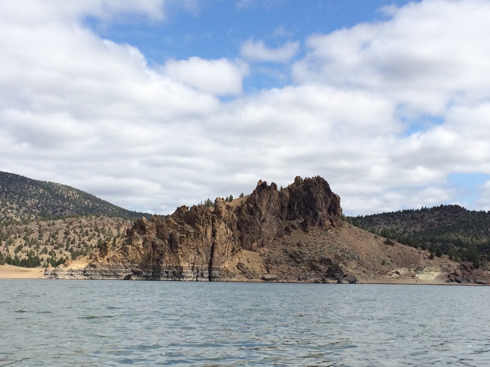
Most human activity occurs at the State Park or on expansive water. To escape the human crowd and see more wildlife, drive east on a dirt road that follows the northeast shoreline for 6 miles to Combs Flat Road. That portion of the lake is more shallow and narrow, and the shoreline is mudflat, meadow, or willow shrubland. The northern-most length of this road parallels Crooked River, which is the reservoir's primary feeder stream.
Caution: A back road from the State Park northeast to pavement at Combs Flat Road is muddy in the wet season and may be closed by pipe gates 0.3 mile and 2.6 miles from the respective termini.
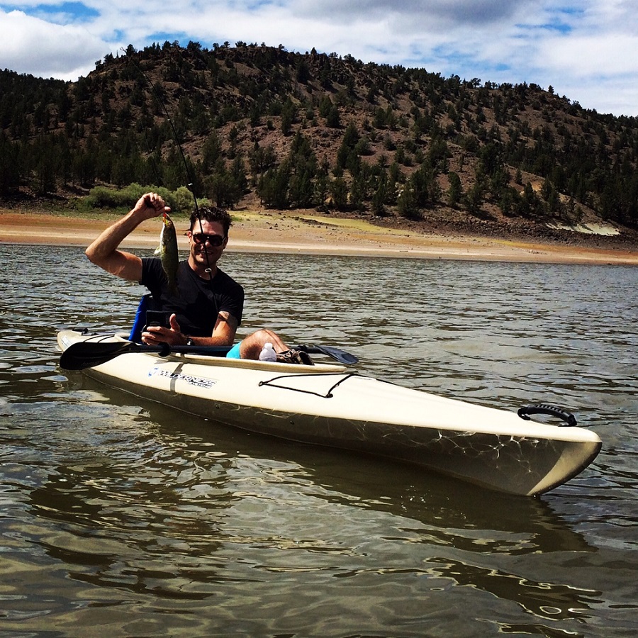
Boat launching is available at the following locations: Crook County Boat Ramp (US Bureau of Reclamation), Jasper Point (state), Powderhouse Cove (US Bureau of Reclamation), Prineville Reservoir Resort (private), Prineville Reservoir State Park (state), and Roberts Bay East (US Bureau of Reclamation).