Elgin

Located along the Hells Canyon Scenic Byway, Elgin sits in Indian Valley, nestled against a backdrop of mountains — the Wallowas to the east and the Blues to the west, with the Grande Ronde River flowing through.

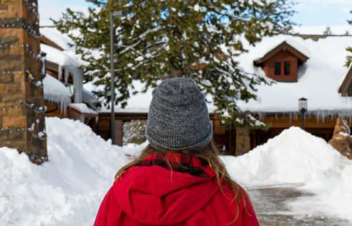
The central camp for the Nez Perce Indians was Lochow, or “lovely little forest.” Here they harvested wild vegetables, fruit, fish and game through the summer months and smoked and dried the excess for winter use. Today, the area’s snowy winters draw snowmobilers, mushers and skiers to nearby Spout Springs Ski Area, while the warm days of summer are great for camping, hiking and water recreation.

: Eagle Cap Excursion Train

Elgin Trip Ideas

Need help planning transportation to and around Elgin?

Transportation Options

See More

Elgin

Map

Ask Oregon

What are the best hikes in the Eagle Cap Wilderness? Are they crowded?

Honestly, I have never had a bad hike in the Eagle Cap because it is big enough to absorb the few people who venture in each summer. I love Glacier Lake and topping out on Eagle Cap is terrific. Bonney Lakes are at a lower elevation and can be buggy depending on the year. Certainly…

More
More Welcome Centers