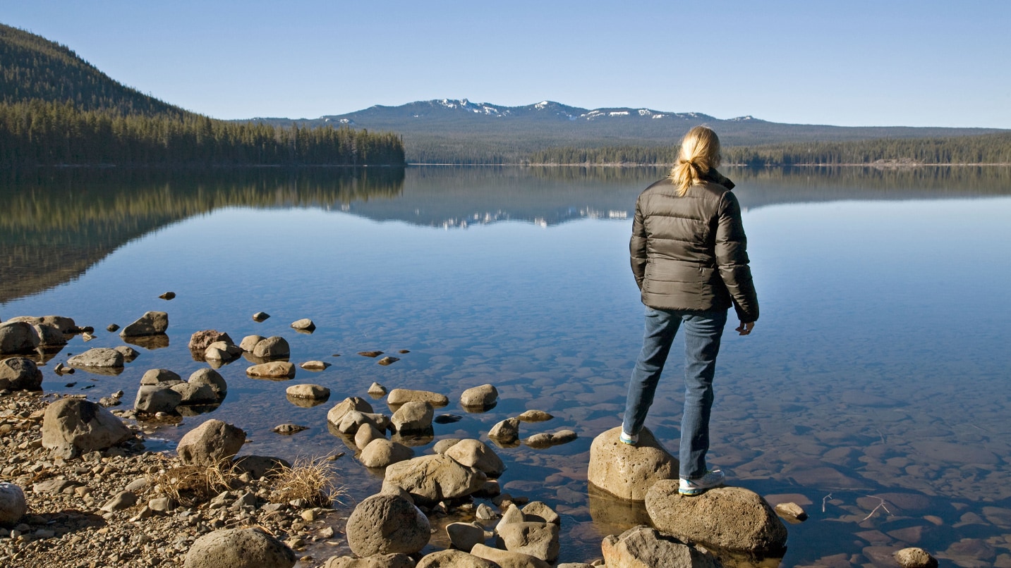
Hikers love the high peaks and wilderness areas of Oregon’s Central Cascades for good reason. The glacier-gouged volcanoes rocket out of the earth in a scream of rock and ice, while placid lakes shimmer in the palms of the pine-scented forests that surround them. But like IPAs and Sparrow Bakery’s ocean rolls, too much of a good thing isn’t great, and such easy access has led to overuse that threatens the very thing that made these areas special.
Between late May 28 and late September, hiking from 19 of the 79 trailheads in these wildernesses will require a Central Cascades Wilderness permit, which must be reserved in advance for everyone in your group. (Overnight camping in the wilderness areas always requires a permit, but one permit is good for up to a dozen people.) Even if you don’t get a permit for the trail you wanted, numerous other trails require only a free self-issued permit, available at the trailhead — and they are still very much worth checking out. They may be less crowded, too. Here are some alternatives that don’t feel like alternatives.
Mt. Jefferson Wilderness
With 163 miles of trails, the Mt. Jefferson Wilderness is home to more than 150 lakes, many of them stocked with trout. Five glaciers define the steep slope of the mountain, and a 40-mile stretch of the Pacific Crest Trail runs through, north to south.
Instead of Pamelia Lake, Try Santiam Lake
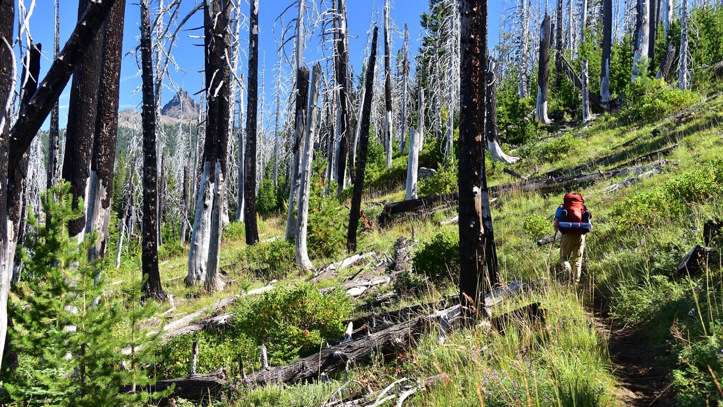
The trail from Santiam Pass begins on the Pacific Crest Trail for about a mile before joining the Santiam Lake Trail, which punches through a forest still recovering from the 2003 B&B Complex Fires. It’s about 3.5 miles one way on a nearly flat trail to reach the first of the lakes, Lower Berley, which actually sits a good ways off the trail. Make your way down and you’ll be rewarded with awesome views of Three Fingered Jack. Upper Berley Lake is about another 1.5 miles up the trail, making for a 10-mile round-trip adventure. If you still have some gas left in the legs, be sure to check out the historic Santiam Pass Ski Lodge, completed in 1940, which is undergoing an impressive restoration effort.
Instead of Three Fingered Jack From Jack Lake, Try Maxwell Butte
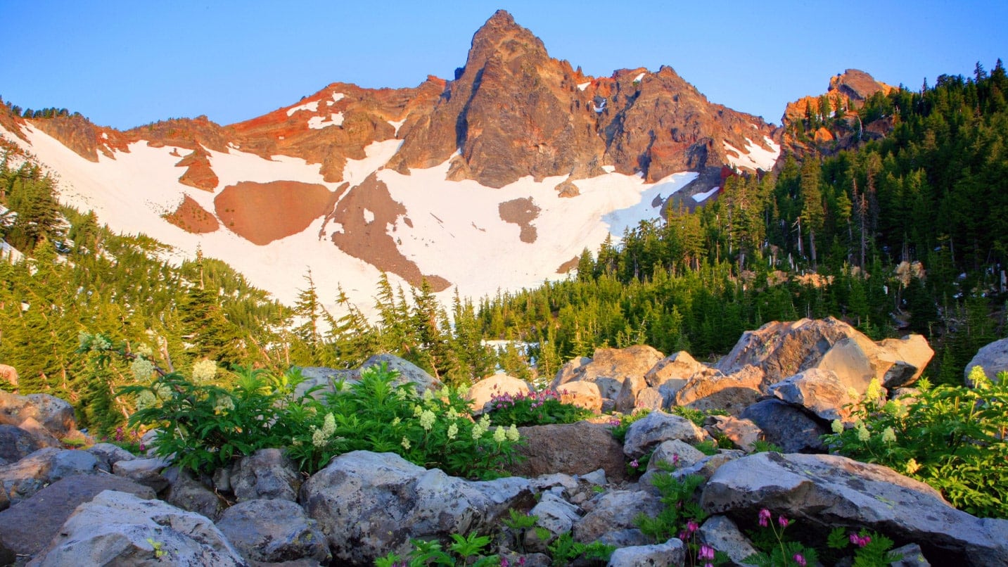
If you’re looking for great views of Three Fingered Jack but can’t get a permit from Jack Lake, set your sights on 6,220-foot Maxwell Butte, a 10-mile round-trip hike that will take you up 2,600 vertical feet for a strenuous but rewarding day. The trail wanders through old-growth forests before punching up to the top of the butte and awesome views of Mt. Washington, Hoodoo Ski Area and Three Fingered Jack.
Mt. Washington Wilderness
The Mt. Washington Wilderness area may count as the smallest of the three wildernesses at “just” 75 square miles, but it carries no shortage of awe. Only two of the trailheads that lead into the wilderness require permit reservations.
Instead of Mt. Washington From the South, Try Mt. Washington From the North
You can still get fantastic views of the lava that shaped the region by coming in on the Pacific Crest Trail from the north end of the wilderness at Big Lake. Climbing 7,794-foot Mt. Washington itself requires expert climbing skills, but you can still hike along the approach to make a 10-mile loop with about 3,000 feet of elevation gain, most of which comes on the last few miles up the flanks of the extinct volcano. There’s a saddle at about 6,200 feet, about 4.5 miles from the trailhead, that affords up-close views of the signature peak — a great spot for a picnic before heading back down.
Instead of Scott Lake, Try Patjens Lakes Loop
Being so close to the road, Scott Lake can get quite crowded, but Patjens Lakes have some of the same scenery without the traffic. Cast off on the Patjens Lakes Loop, a 7-mile ring that gains just 400 feet while offering views of Mt. Washington and Hayrick Butte, with a series of lakes for cooling off on those hot summer days. Expect to encounter some downed trees, but with ample meadows along the way, you’ll also find plenty of places to rest.
Three Sisters Wilderness
Oregon’s second-largest wilderness sits close to Bend and covers a whopping 448 square miles. No fewer than 260 miles of trails explore the Three Sisters Wilderness’ soaring peaks, fuzzy meadows and deep forests, which make it super popular and therefore the region most affected by the advanced permit system.
Instead of Todd Lake, Try the Six Lakes Trail
The hike to Doris and Blow lakes along the Six Lakes Trail gains just 416 feet of elevation over about 5 miles round-trip. The first lake, Blow Lake, sits just a mile from the trailhead, while it’s another 1.5 miles from there to Doris Lake. This trail actually passes dozens of lakes, all pretty much under the nose of towering volcanoes, but Blow has a nice little beach for swimming, too.
Instead of Green Lakes, Try Winopee Lake
The nearly flat Winopee Lake Trail near Cultus Lake runs past huckleberry thickets for a 10-mile round-trip jaunt to the cabin and back, gaining maybe 200 feet along the way. The first mile or so follows Cultus Lake and offers good spots for stopping off for a swim. About 3 miles in, you can veer off to the right for a side trip up to Teddy Lakes or continue on for another 1.5 miles to an old beaver trapper’s cabin.
Things are different this year, but with a little planning, you can have a great experience. Find tips on what to bring on your next hike before you head out.