


Welcome to the OC&E Woods Line State Trail — Oregon's longest linear park! This 109-mile, rail-to-trail conversion is built on the old rail bed of the Oregon, California, and Eastern Railroad. The trail is open for all non-motorized recreation, beginning in the heart of Klamath Falls, extending east to Bly and north to the lush Sycan Marsh. From its beginnings as a railroad carrying millions of board feet of timber and railcars loaded with cattle, to its present cargo of recreational trail users, this railroad line has always been on the move.
The trail is continuous and offers various sections for recreational activity.
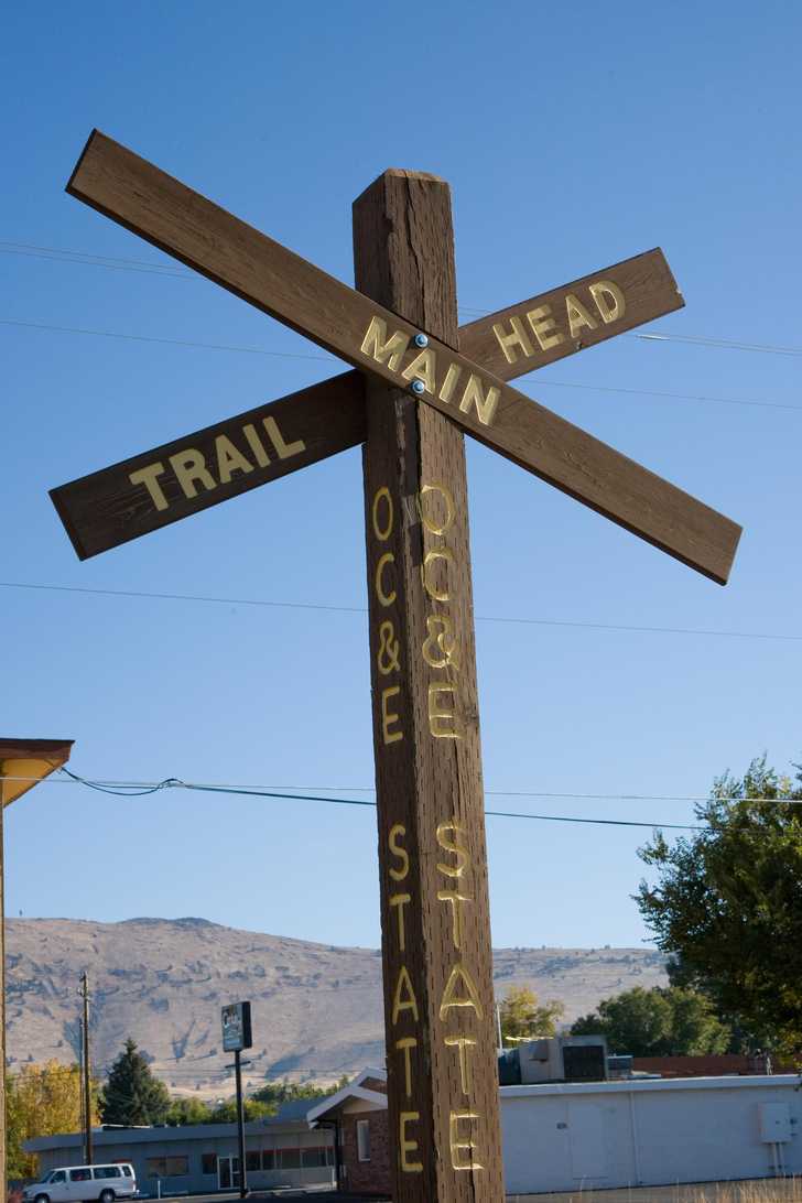
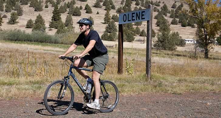
The Urban Section: Klamath Falls to Olene
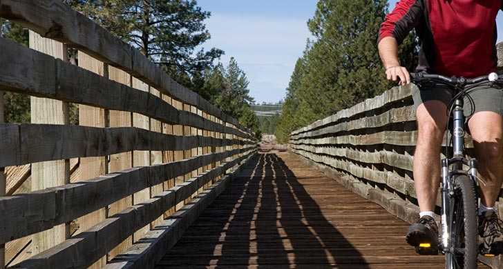
This paved section of the trail is typically bustling with joggers, walkers, in-line skaters and bicyclists. Mt. Shasta rises to the south as the trail passes through farmland on its way to the tiny community of Olene. Approaching Olene, notice Olene Gap, a naturally-formed narrow opening in the mountains that allows just enough space for the trail, Highway 140 and the Lost River to course through.
Gateway Section: Olene to Sprague River
This graveled section travels through Olene Gap and north through juniper and sagebrush before swinging east at Swede's Cut, a portion of track that was cut through high ground in order to maintain a gentle grade. The section is named for the Swedish workers who used star drills and black powder to move more than 10 feet of boulders and hardpan soil. Continuing east, the trail skirt the town of Dairy, named for the Dutch dairymen who first settled there.
Sprague River Section: Sprague River to Bly
As the trail descends into the Sprague River Valley, it traverses timber and ranch lands and passes the Sprague River. This scenic section is rich in wildlife and waterfowl. Agricultural activities abound in this fertile valley, and trail users may encounter livestock. The main trail consisting of rough, loose rock and grass, continues east to the end of the line at the quiet town of Bly, once a booming mill town.
Woods Line Section: Woods Line Spur to Sycan Marsh
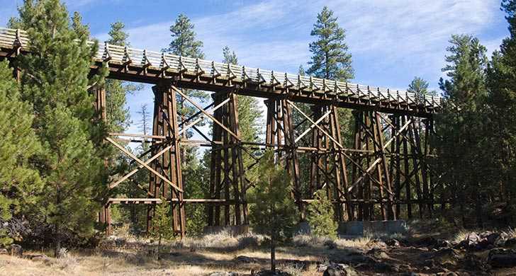
The spur trail splits off and heads north in Beatty. This rough section passes from open farmland to thick woods, then crisscrosses over Five Mile Creek at mile 10. The spectacular Merritt Creek Trestle awaits at mile 27, stretching 400 feet long and 50 feet high. The Woods Line breaks at the expanse of grasslands known as Sycan marsh, then continues north of the marsh for seven miles.
If you are planning an adventure on the trail, please call for the most up to date conditions.