My breath hung in the dewy October morning air of Eastern Oregon’s Wallowa Mountains as I took in the sweeping view before me. Less than a mile into Hurricane Creek Trail, my husband and I rounded a corner and saw Hurricane Creek below and Sacajawea Peak filling the horizon.
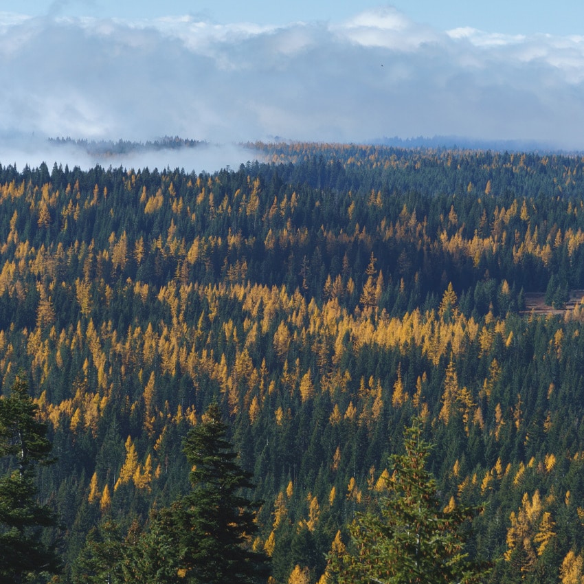
Since my husband is a meteorologist and I work in an ecological field, we always pay special attention to how the weather and foliage change throughout the year. All over the surrounding terrain were bands of yellow, the fall foliage of Oregon’s western larches, a beacon of fall at higher elevations.
With one of the widest geographic ranges of all the conifers, the larch family is known for its very peculiar habits: It loses its needles, more like deciduous maple or oak trees than its evergreen counterparts. Growing on mountain slopes, in valleys and in swampy areas, larches can be found with Douglas fir and ponderosa pine companions in great masses in Eastern Oregon. They are typically a lighter green than other conifers in spring and summer, and in October and November, they dot landscapes as though a brush of yellow paint had been flicked onto a forest scene.
These trees can be found throughout Oregon, but experiencing them on Eastern Oregon’s quiet, remote trails can especially cure any case of cabin fever after summer’s long days fade. Check out these hikes to enjoy Oregon’s larches in the eastern part of the state, and plan to stay over for a few days, soaking in the crisp fall air.
Just remember, if you go, check road and weather conditions before you leave, planning for rough roads and limited services. Carry the Ten Essentials on any hike, pack out what you bring in, be mindful of leash laws and clean up after your pet, stay on designated trails and help avoid human-caused wildfires.
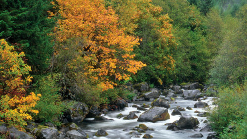
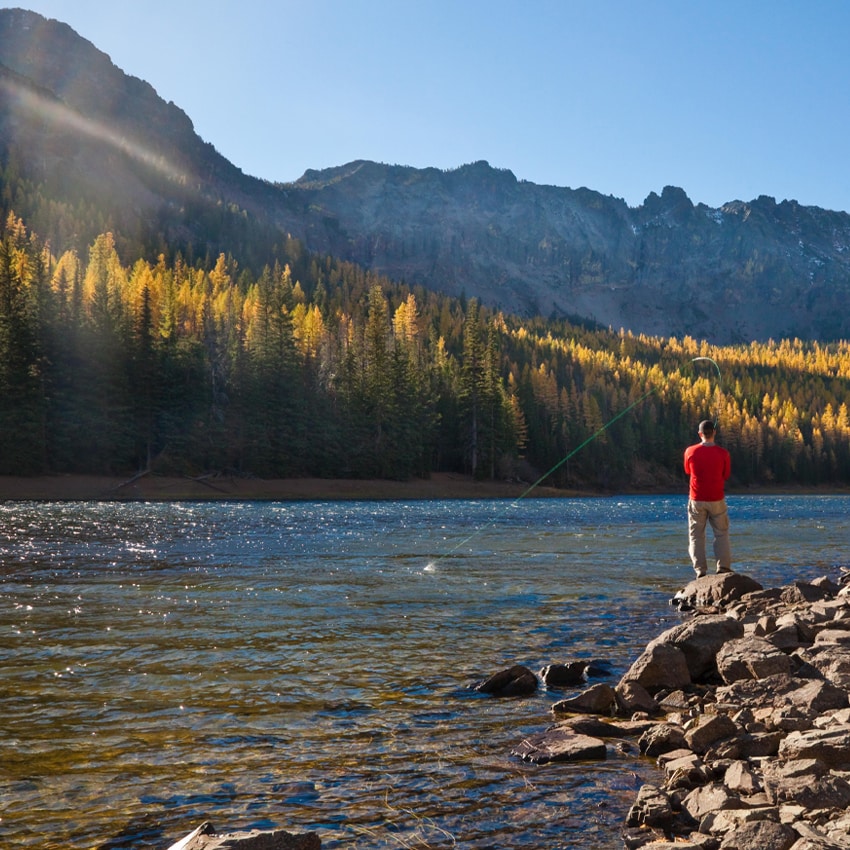
Cliffs and Expansive Views at Hurricane Creek
As a point of access into the Eagle Cap Wilderness near Joseph, Hurricane Creek Trail is a relatively popular, moderate, out-and-back trail with views of granite and limestone cliffs, seasonal waterfalls, mountain peaks and, of course, larches. In the early morning, frost may cling to the trail as you ford trickling creeks that can be rushing water in spring.
Hurricane Creek is a choose-your-own-mileage adventure. Pending the conditions in October through May, hikers can backpack in and stay in a dispersed campsite (no reservations needed) or simply day hike. Suggested day hikes are to travel 4.6 miles to the junction with Billy Jones Trail or another 5 miles to the junction with Lakes Basins Trail. Hurricane Creek Trail climbs steadily but not too steeply before reaching Hurricane Rapids, where you’ll see exposed cliffs and drop-offs.
A fee of $5 per vehicle per day or a Northwest Forest Pass or America the Beautiful Pass is required. Dogs are allowed but must be leashed.
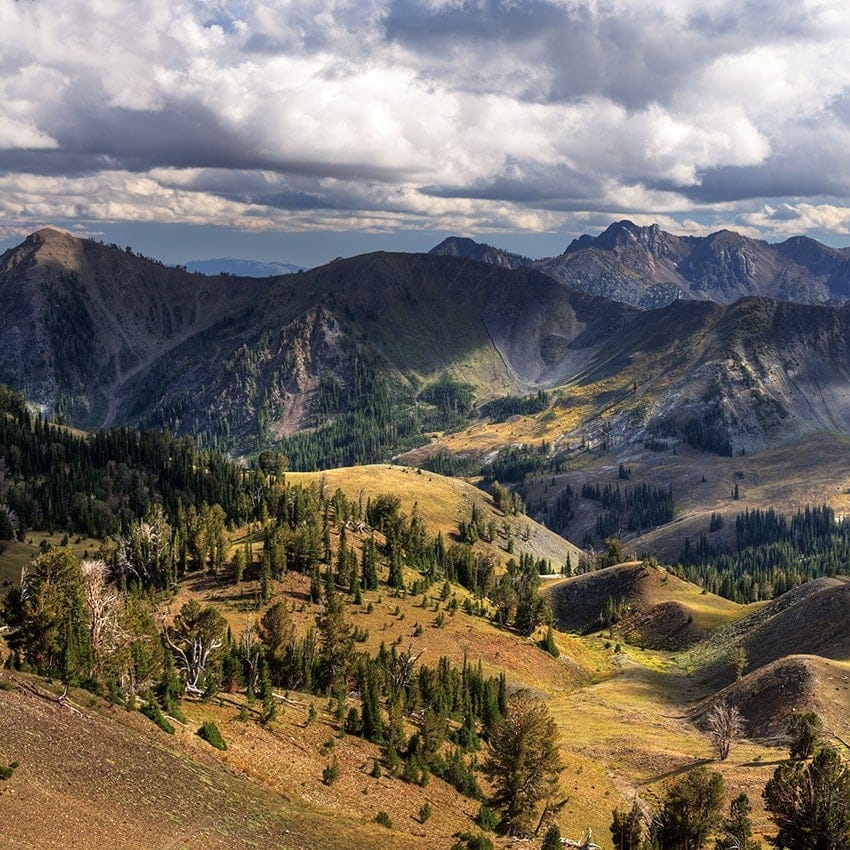
Subalpine Lakes and Sunsets in the Strawberry Mountains
The Strawberry Mountains south of Prairie City boast two relatively accessible subalpine lakes popular for overnight backpacking and day hikes, one of which is Little Strawberry Lake, which is accessed via two moderate trails.
Following Strawberry Basin Trail to Little Strawberry Trail, you will see both larch and fall underbrush such as snowberry brightening up the trail with rusty-red hues. Stop for a break 1.2 miles into the trail at Strawberry Lake, nestled at the base of its namesake mountains, and watch the alpine reflections rippling on the water’s surface.
About three-quarters of a mile past the junction with Little Strawberry Trail, 50-foot-high Strawberry Falls is a worthwhile midhike reward.
Shortly after the trail crosses the creek above the falls, take a left at the signed intersection onto the remainder of Little Strawberry Trail. If you’re day hiking, take a moment to appreciate the towering cliffs dwarfing the small subalpine lake below. If backpacking this trail, set up camp at one of the many dispersed campsites in the trees, and settle in for a spectacular sunset when the surrounding peaks are set aglow with soft evening light.
Parking is available for a small fee (or use your Northwest Forest Pass or America the Beautiful Pass) at the Strawberry Basin Trailhead adjacent to Strawberry Campground. Dogs are allowed but must be leashed.
Wildlife and Marsh Habitat on Tenderfoot Trail
With underbrush foliage dressed in red and orange, golden larch trees, and a small stand of quaking aspens to the east of the Wallowa Mountains, the moderate Tenderfoot Trail to the lower Bonny Lake satisfies any craving for fall in the mountains. (Note: The trail was temporarily closed in early September 2022 due to nearby wildfires; check the status before you go.)
As an access point into the Eagle Cap Wilderness, Tenderfoot Trail is popular among hikers and horse riders. Riders and hikers do share the trail, so be mindful, announce your presence and slow down or step off to the side of the trail to let horses pass.
From Tenderfoot Trail, you will shortly cross Big Sheep Creek before steeply climbing into the mixed-conifer forest. After about 1.1 miles, the trail will cross the North Fork of Big Sheep Creek and come to a signed trail junction. Staying on the main trail leading west for just over a mile, you will cross multiple side creeks until you reach the signed junction for East Fork Wallowa River. Follow this trail for about 4 miles to reach Lower Bonny Lake, which opens up an expansive view of the peaks beyond.
If you have the lake to yourself, you might be lucky enough to witness wildlife such as deer, elk and coyotes taking advantage of the easily accessible water. Among the larches seen throughout the trail, look for whitebark pines on the lakeshore and surrounding hillsides.
Visitors to the Eagle Cap Wilderness must obtain a free Wilderness Visitor Permit before beginning their hike or ride. Parking is free; dogs are allowed but must be leashed.
Intimate Forest Views on the Umatilla Rim Trail
Larches abound on the Umatilla Rim Trail, a moderate-to-hard climb into the northern Blue Mountains near Elgin. Both the upper and lower access points require travel on Forest Service access roads. (A third access point from OR 204 has the shortest gravel-road drive for low-clearance vehicles.) Across from Andies Prairie Sno-Park, take a gravel road (NF-050) a short distance and turn right onto NF-020 to reach the Horseshoe Prairie parking area.
For upper access to Umatilla Rim, start at the trailhead for Lake Creek Trail and hike three-quarters of a mile before reaching the junction with Buck Creek. Pick up the Umatilla Rim Trail from here, hiking toward the lower access at Buck Creek Trailhead near Buck Creek organizational camp. For lower access, pick up the trail from Buck Creek Trailhead. Trail signage can be hard to follow in the area, so research the mileage and connecting trails you prefer and download or print a map before heading out.
As you’re enjoying the larches, scan for birds such as downy woodpeckers, northern flickers and sapphire-blue Steller’s jays.
Parking is available at each access point. Day passes can be purchased online ahead of time — self-service fee stations may not be available — or bring your Northwest Forest Pass or America the Beautiful Pass. Dogs are allowed but must be leashed.
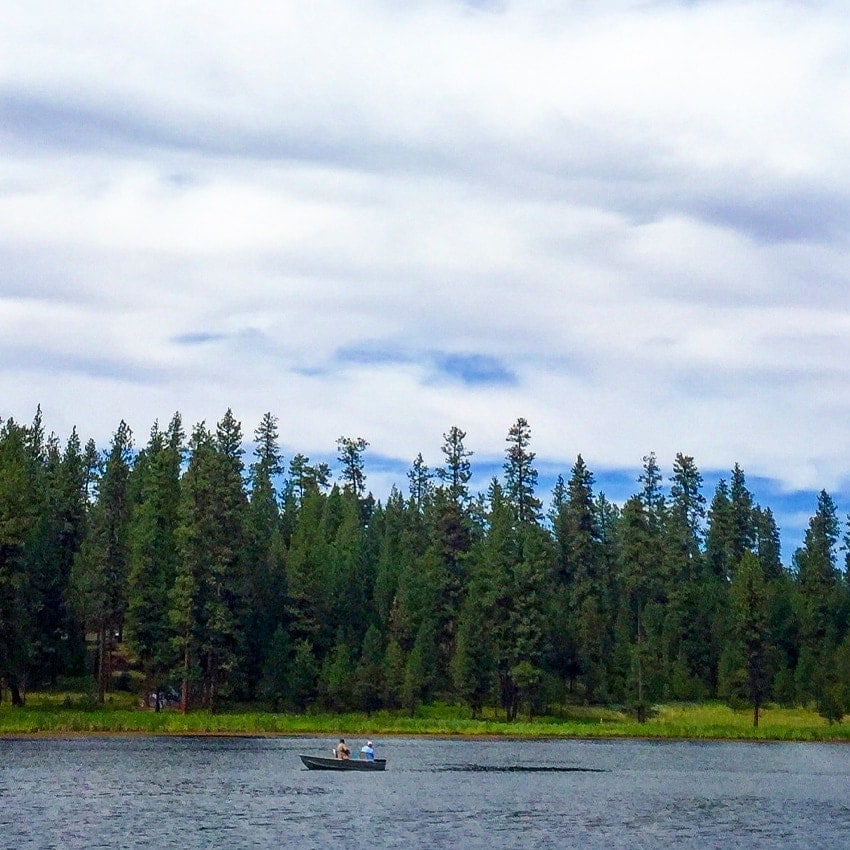
Peaceful Shoreline Hiking at Bull Prairie Lake
Bull Prairie Lake, a 28-acre oasis surrounded by the Blue Mountains northeast of Spray, is a popular destination for fishing and camping, Bull Prairie Campground, adjacent to the lake, makes for a perfect overnight stop to enjoy the larches in fall.
Take the easy, 1.2-mile, paved lake loop hike and watch for herds of deer grazing in the forest surrounding the trail. Or just chill out at one of four accessible fishing docks and observe trout cutting through the water’s rippling surface.
Parking is available near the boat ramp, and if you are camping, the trailhead is easily accessible from the camping area. Dogs are allowed but must be leashed.