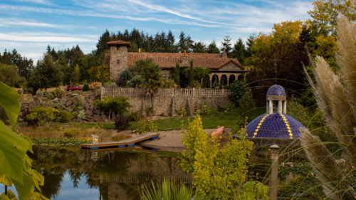
It’s hard to imagine the marine prowess Native American tribes wielded along the mighty Columbia River, undeniably the most epic river in the Pacific Northwest. The wild, unknown waters — then untethered by dams — carved a path through mountains and plains, and connected thousands of miles of people, trade goods and food between British Columbia and the Oregon Coast.
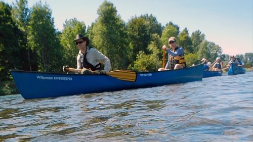
Today those waters still serve as a main thruway for goods, people and that flighty temptress: adventure. Paddlers of all experience levels can explore some or all of the 146-mile Lower Columbia River Water Trail, an area spanning from the Bonneville Dam to the Pacific Ocean. It’s an underrated route for kayakers and canoers. It’s also one of the most accessible, with some of the best put-in spots located in and near the Portland Region.
“The size and scale of it is unique, the fact that it encompasses so many different types of geographies, from the Gorge all the way to the mouth of the ocean,” says Chris Hathaway, community programs director at the Lower Columbia Estuary Partnership, a nonprofit that advocates for the health of one of the river regions.“There’s so much diversity along it, from the cultural, natural, historical and industrial to floating restaurants and nude beaches. It has a little bit of everything, and its size makes it infinitely explorable.”
Newbie paddlers are well advised to go with a guide: Check out Scappoose Bay Paddling Center and Alder Creek, which both offer tours of the Lower Columbia River. Paddlers with at least a little DIY experience will find a seemingly endless range of trip options, with launch points dotting the entire water trail (check out this interactive trail map).
Where do you start? With Hathaway’s expert advice, we’ve mapped out three paddle expeditions along the Lower Columbia geared toward a range of experience levels. Each trip, too, is fully customizable and can be shortened or elongated with proper planning.
Half Day: Scappoose Bay to St. Helens
Launch: Scappoose Bay Marina (river mile 89)
Land: St. Helens Marina (river mile 85)
Distance: 4 miles
Skill: Easy to intermediate
Tide Tables: St. Helens
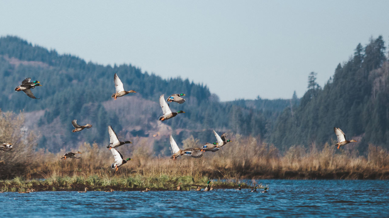
Explore Scappoose Bay’s intricate network of sheltered, tranquil waterways — a tidal, freshwater estuary home to migratory birds, fish and wildlife — before heading 4 miles downstream to St. Helens along the Columbia.
As you exit the Bay, paddlers will navigate the tree-lined Multnomah Channel along the northern end of Sauvie Island (keep an eye out for Warrior Point on the very tip) before entering the Columbia. Continue around the bend as houseboats, docks and fishing vessels glide past on your left, making sure to keep to the Oregon side before landing at St. Helens Marina across from Sand Island Marine Park.
Plan to put in at Scappoose Bay but take out at St. Helens Marina. This trip can also be done as a roundtrip, returning to Scappoose Bay, but plan for a longer day on the water.
Full Day: Dalton Point to Rooster Rock
Launch: Dalton Point Boat Ramp (river mile 133.6)
Note: Dalton Point is only accessible from the westbound lanes on I-84. If driving east, exit at Multnomah Falls and return 2 miles west to reach Dalton Point.
Landing: Rooster Rock (river mile 128.5)
Distance: 5 miles
Skill Level: Intermediate to advanced
Tide Tables: N/A, as this eastern point in the river is less tidally influenced
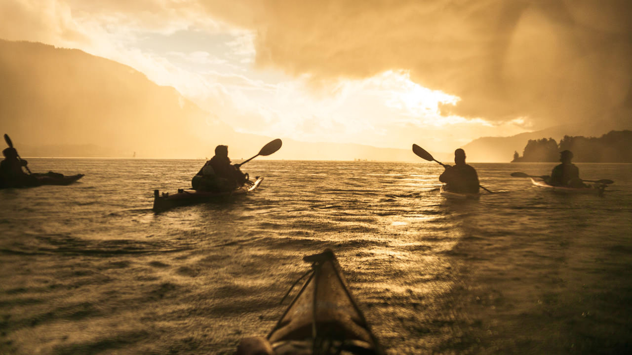
Paddle through one of the most spectacular destinations in the Northwest during this short but challenging trip. The expedition starts at Dalton Point, with Phoca Rock and Cape Horn rising in the distance along the Washington side, and ends along the sandy shores of Rooster Rock.
Phoca Rock, the rugged basalt landslide remnant named by Lewis and Clark for the many harbor seals nearby, emerges only a little more than a mile downriver. Just beyond the 100-foot-high rock, the towering basalt cliffs of Cape Horn rise out of the water as waterfalls and small caves line the farther shore. This area can be quite challenging for paddlers, as large commercial craft traverse this stretch and winds can pick up substantially, causing rough water; it’s appealing to experienced kayakers looking to test their skills, though not suited to beginners.
As you continue downstream, cruise past Sand Island, the partly forested stretch of Rooster Rock State Park, where Lewis and Clark camped for two days in April 1806. The expansive sandy beaches have both a clothed and clothing-optional, perfect for a cooling dip on a hot day. Finish your trip with a swim, a lounge on the sun and a picnic on the shores.
Multiday: Starting at St. Helens
Launch: St. Helens Marina (river mile 85)
Landing: Multiple
Overnight: Camping
Distance: More than 30 miles, depending on endpoint
Skill: Intermediate to advanced
Tide tables: Check tide tables for each departing location
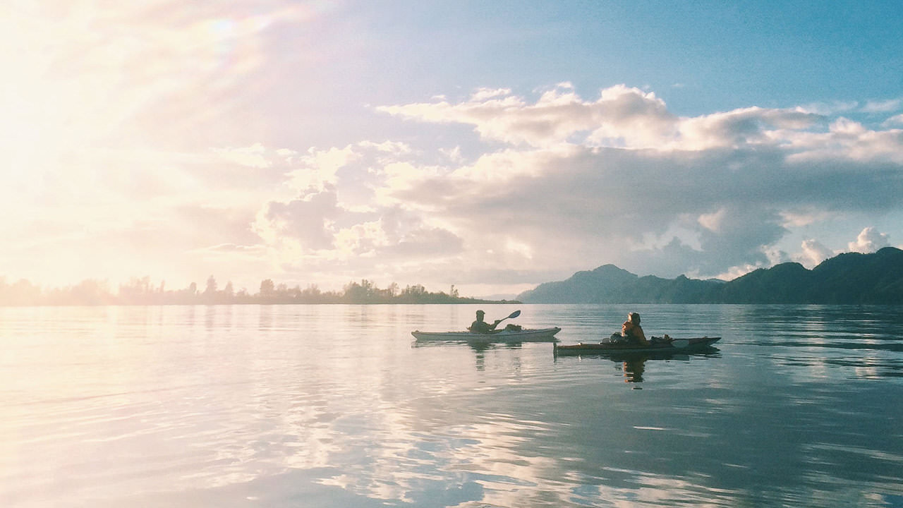
With proper planning, a multiday trip is one of the greatest ways to explore the Columbia. And launching from St. Helens Marina gives you nearly endless trip possibilities for days and distance. Simply choose your take-out point and camp along the way — winding through wetland and sloughs, sandy beaches, tree-lined islands, fishing net sheds, industrial centers, and more.
“You’ll see a mix of history and culture [along this route],” Hathaway says, “some views that Lewis and Clark would’ve seen that are still there and some views that show how the river has changed, how society has changed around the river.”
Set out on your voyage from the St. Helens Marina, passing through the more industrial Kalama, Rainier and Longview, where you can explore the confluence of marine industry and urbanization (or avoid it by paddling around the other side of Sandy Island).
Tie up at the Rainier Marina for lunch or pack your own and pull onto the sandy shores of Lord Island to watch the big ships go by. Most of the islands in this stretch of the Columbia are camp-able, most with minimal to no facilities. Check the Lower Columbia’s interactive map for a full range of options.
From there, sandy beach launches dot the banks of the Oregon side of this stretch of the river making it easy to add days and distance: For a challenging overnight trip, take out at Mayger ODFW Day Access Beach (river mile 58). Or you can add a few nights and take your time camping along the way on Lord or Walker islands (river mile 62.5 and 61). Take a rest on Eureka Bar and Quill Island (river mile 51) before settling into the Westport Public Boat Ramp (river mile 44). Beyond Aldrich Point (river mile 30), the river begins to widen at the mouth, with fewer landing and camping options as you near Astoria. The water and traffic here, too, can become much more difficult to navigate for beginners, but the John Day Boat Ramp (river mile 18) would make an excellent destination for experienced paddlers.
“The way I often describe the water trail is it’s not a line on the map, it’s not a specific route, it’s a linked network of sites for people to put together their own itinerary,” says Hathaway. “The beauty of it is that the river is the trail and you decide where you want to paddle.”
When You Go
Safety and preparedness are paramount. If you’ll be exploring on your own, make sure to plan your route and have all your equipment with you. To make it easy, the Lower Columbia Estuary Partnership has put together this handy water trail safety guide.
Keep in mind that the Columbia is a tidal river. In addition to rain, runoff and wind conditions, a beginner’s paddle in the morning, Hathaway says, could easily become expert level by afternoon. Make sure to check weather conditions before heading out. It’s easiest to paddle, Hathaway says, on the outgoing tide. Check tide tables, as well, before setting out. And if you’re questioning your readiness, trust your gut and book a tour with a guide.
Carry what you’ll need for your trip. Day-trippers should, at the very least, carry a whistle, drinking water and a fully charged cell phone (in a waterproof bag). If it’s not obvious, you should also avoid wearing cotton clothing beneath your required personal floatation device (PFD, in insider lingo). When paddling on chilly waters, pack a hypothermia kit — a waterproof bag filled with a complete change of noncotton dry clothing, a camp towel, a space blanket and fire-starting material. For overnight paddlers, plan to carry any and all necessary overnight equipment, in addition to a hypothermia kit, food and water.
Be inspired to protect the Lower Columbia Estuary. And as always, observe Leave No Trace principles: Pack out any trash or waste you create to help protect Oregon’s precious waterways and habitats, and refrain from disturbing any private property or cultural resources along your trip.