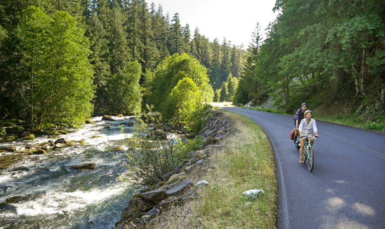
Water is the dominant force that sculpts the volcanic landscape of the West Cascades. The Cascading Rivers Scenic Bikeway celebrates the rivers we treasure in the Northwest, by following two of the most rugged and beautiful: the Clackamas and the Breitenbush. All along this route, water and rock interact to create dramatic beauty and inspiration.
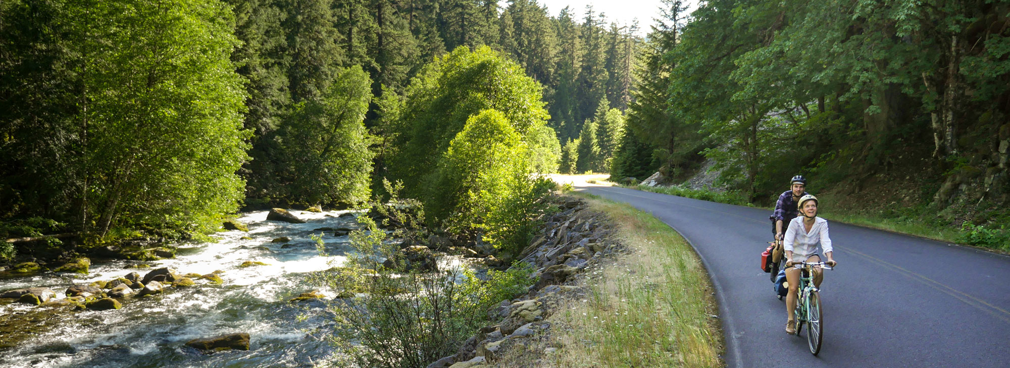
Imagine: 70-plus miles, from Estacada to Detroit, riding on remote roadways – all of it following the course of rivers. At times you’ll be close enough to the water’s edge to be tempted to pull over and take a dip (there are also some hot springs along or near the route). Other times you can listen to the water as a soothing background soundtrack, or tune into the wind softly whooshing through the trees of the dense and ancient forest, or enjoy a symphony of forest songbirds. You may also experience glimpses of majestic elk or a fluttering grouse along the way.
The Bikeway parallels the nationally designated Wild and Scenic Clackamas River along rocky riffles, quiet pools and reservoirs. Beneath the waters, native runs of coho, chinook and steelhead salmon seek their ancient spawning beds. Mt. Hood and Mt. Jefferson loom on the horizon.
If your trio of riding perfection consists of road, water and trees, this route will fulfill your soul.
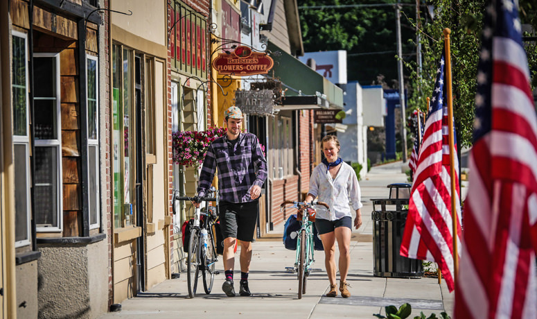
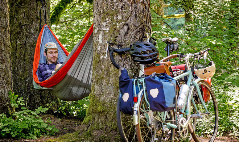
At either end of the route, remove the stresses of civilization with a walk through the towns of Estacada or Detroit. Both are full-service towns with free parking and many options for eating. Both towns are situated on tranquil waters and are similarly rooted in historical attachments to water power, mountains and forests. Camping and hot showers are available at the Detroit Lake State Recreation Area and at Milo McIver State Park (on the Estacada end), which offers hiker-biker sites for a reduced rate.
Route Notes
-
This route can be ridden in either direction. The elevation gain is different depending on your direction; you’ll climb 3,125 feet starting from Estacada and 1,985 feet starting from Detroit.
-
A shorter family-friendly ride is also available from Estacada. For details, contact the Estacada Chamber of Commerce.
More Resources
Find more to see and do near the Cascading Rivers Scenic Bikeway at Oregon’s Mt. Hood Territory and the Estacada Chamber of Commerce.
You can travel via the TriMet system from Portland all the way to Estacada, if you’re coming from the north or through Portland International Airport.
Road conditions and traffic:
-
This route is closed during late fall and winter. In the winter, Road 46 is not maintained for travel. Roads are only maintained from late spring to fall, and much of the route is closed by snow from late fall to early spring.
-
In late spring and fall, motorized vehicle traffic volume is low to moderate, but higher on weekends and holidays during summer months.
-
In addition to visiting TripCheck.com, please contact the USFS Detroit Ranger Station and the Clackamas River Ranger District for current information about road conditions. Most of the route through the national forest is narrow, steep and winding, with limited to no shoulder. Watch out for truck traffic, fallen rocks or trees, and possible damaged road surface conditions and slippery surfaces during wet or icy weather.