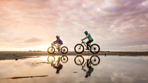


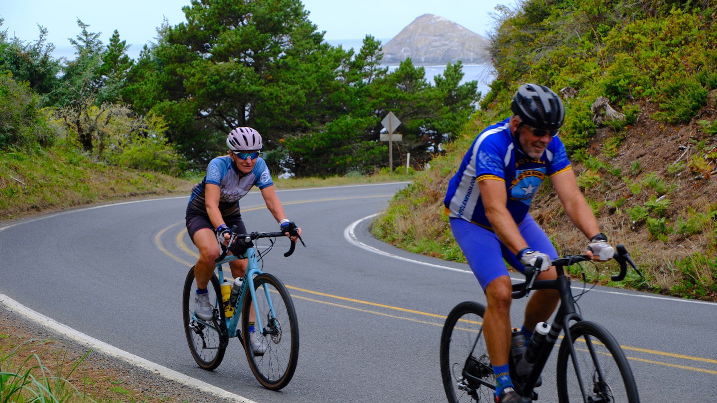
From wild beaches and sand dunes to active fishing harbors, the Oregon Coast has it all — and what better way to appreciate the sights than from the vantage of a bicycle?
The Oregon Department of Transportation has mapped out a 370-mile Oregon Coast Bike Route from Astoria to Brookings at the state’s southern border. While much of the 370-mile route follows Highway 101, the state’s official map includes details for 12 bypass routes that get you off the main highway. Some of these follow the old, original highway route and bring you closer to Oregon’s rugged coastline; others take you through parts of towns you wouldn’t see if you stayed on the main road.
Thanks to an extensive system of parks and viewpoints, there are plenty of places to stop and rest along the way, and many of the state parks offer first-come, first-served bike-in campsites. You can also take these rides as day outings and book hotels along the way. Here are three top sections of the route to consider.
North Coast: Tour the Three Capes
Perfect for: Advanced cyclists looking for a scenic daylong ride with challenging climbs
The Three Capes Scenic Loop — at 69 miles long, one of the longest and prettiest stretches of the Coast — begins from the North Coast city of Tillamook. It has 3,055 feet of elevation and takes advanced cyclists past three scenic headlands: Cape Meares, Cape Lookout and Cape Kiwanda. A landslide closed the Cape Meares loop for nearly 10 years, but it has finally reopened, making the entire route available to travelers.
From Tillamook the road leads northwest to the dramatic Cape Meares State Scenic Viewpoint. Here it’s worth taking the time to marvel at the enormous, many-armed Sitka spruce tree and walk to the Cape Meares Lighthouse — both just a short distance from the parking lot. You’ll also be able to watch the waves crash against the steep, plunging cliffs. Be sure to look for nesting seabirds in the sea-stack rocks, too. (The road is temporarily closed for repair; check before you go)
Next is Cape Lookout, a headland that juts into the ocean south of Netarts Bay. From Cape Lookout Road, a trail leads to the tip of the cape, where on a clear day you can see Tillamook Head to the north. Cape Lookout State Park is also an ideal place to spend the night; either way, be sure to take a break to unwind on the stretch of sandy beach.
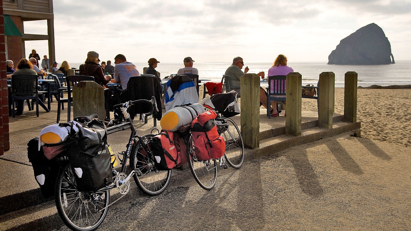
Continuing south you’ll encounter the final landmark of this epic route. Stop at Cape Kiwanda State Natural Area to marvel at the sea-carved sandstone headland. If all the cycling hasn’t thoroughly tested your calves, park your bike — there’s a new parking area with restrooms nearby — and ascend on foot up the towering sand dune for a fantastic view of Haystack Rock just offshore. Just be sure to stay on the trail and within any safety barriers, as this stretch of dunes is unstable. Cap off the ride with lunch at Pelican Brewing Company in Pacific City before returning to Highway 101, or stay overnight in nearby Woods or Webb county campgrounds.
Central Coast: Trace the Little Nestucca and Otter Crest
Perfect for: Beginners looking for a short, gentle ride through forests and farmland
Take Highway 101 from Pacific City about 10 miles southward; the shoulder is decent along this stretch, and you’ll catch a sweet view of the Little Nestucca River (see Oregon Coast Bike Route map D). Veer off the highway just south of Neskowin Beach by heading east on Slab Creek Road, a route ODOT strongly recommends due to the congested highway along this stretch. This gently sloped route follows the old highway through a lovely section of the Siuslaw National Forest, with mossy old trees and a lush understory of ferns. The route loops back to 101 just north of Lincoln City.
A second short ride is just south of Depoe Bay, where you’ll find a rewarding side trip: a ferny and forested road leading to a basalt headland. The 3.5-mile route to Otter Crest State Scenic Viewpoint (see Oregon Coast Bike Route map E) provides a wide shoulder and a bike lane, and the views from atop the 500-foot bluff are panoramic. If you’re ready to stop for the night, ride on to the creekside campground at Beverly Beach State Park or book lodging nearby.
South Coast: Ride the Seven Devils and Cape Arago
Perfect for: Advanced cyclists looking for long climbs and descents with coastal views
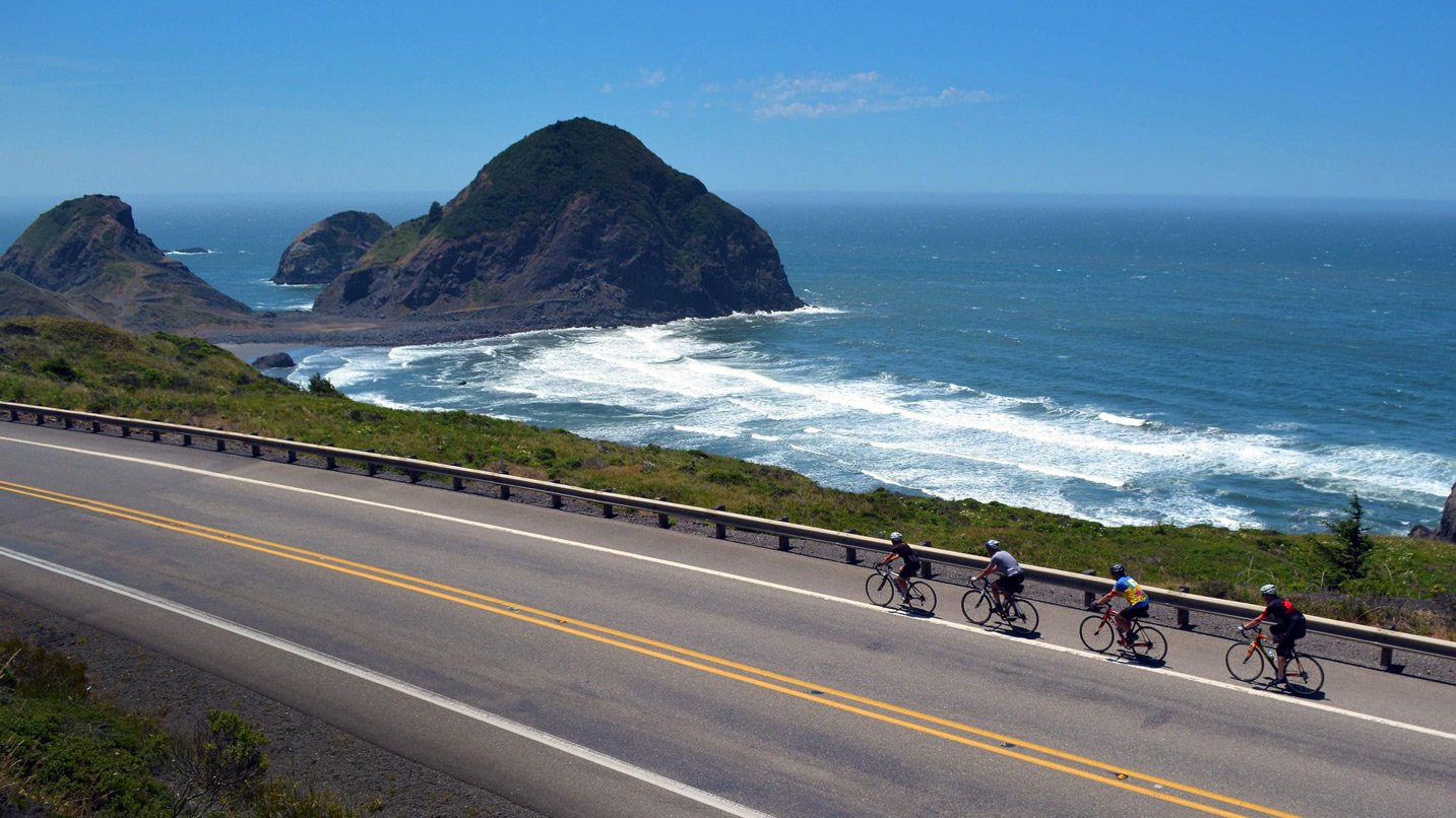
A 21-mile bypass from North Bend to Bandon starts just south of the bridge spanning Coos Bay, a quiet if challenging route considering the 1,219 feet of elevation in that distance (see Oregon Coast Bike Route map H). Take the Cape Arago Highway from Highway 101 to Seven Devils Road (see Oregon Coast Bike Route map I). You’ll encounter a series of steep climbs near the beginning — those are the “Seven Devils” — but the views on the long descent make the effort worthwhile. If you have time, explore the forests, marshes and mudflats at South Slough Reserve, and see if you can spot beavers and river otters in the channels.
If you have the energy for more rugged mountain climbs, take the spur road from Charleston southwest to a trio of parks, including Cape Arago State Park, where you can spot sea lions from the cliffside and visit a quiet cove with excellent tide-pooling.
The Old Coast Road detours from Highway 101 just north of the town of Gold Beach (See Oregon Coast Bike Route map K). On the north end of this short, 5-mile route, a short spur road leads to Otter Point State Recreation Site, where you’ll find an unpopulated beach and layered sandstone rock formations. As you continue south and approach the Rogue River, stop at the North Jetty, where you can walk out or hunt for surf-rounded agates and quartz at Bailey Beach. As the road loops back toward Highway 101, you’ll catch some good views of the historic Isaac Lee Patterson Bridge across the Rogue River.
If You Go:
- Wear a helmet and high-viz clothing, and make sure your lights are well charged and visible from behind. Consider a bike mirror so you can see what’s behind you.
- Start early in the day to avoid heavier traffic midday.
- Take extra care when crossing bridges and tunnels.
- Bring along paper copies of maps and/or a GPS device in case you lose cell access.
- For detailed information on the entire trail, check out Bonnie Henderson’s website, book, and app about hiking the Oregon Coast Trail. Though intended for hikers, many of the tips are relevant to cyclists, too.
- Find even more tips about bike riding on the Coast (mountain, gravel, road and fat bikes) here.
If you’d like to ride with route and technical support, as well as a crowd of other riders, consider signing up for any of Oregon’s top organized bike rides.
Editor’s note: In Oregon, a bicycle is legally considered a vehicle, and the same Oregon road laws apply. Please “be seen” and practice safe riding. Vehicle traffic, farm equipment and narrow shoulders exist on many Oregon roads, and you may find that construction projects, traffic or other events may cause road conditions or signage to differ from the map results, ride descriptions and directions. For travel options plus weather and road conditions, visit TripCheck.com, call 511 (in Oregon only), 800.977.6368 or 503.588.2941. Routes listed on this website are for informational purposes and intended as a reference guide only. If you’re unsure about road riding, consider a fat-tire bike ride on the Oregon Coast instead.