The McKenzie River Trail (MRT) offers the quintessential Oregon trail-riding experience. Ride the upper end for technical challenges; ride the lower part for flowing forest gliding. Ride the whole thing for the full package. And the whole experience is stunningly beautiful – cascading waterfalls, stream crossings on rough-hewn log bridges, crystal-clear lakes and pools, old-growth trees. The fact that it’s easy to get to, and to get on and off of, is just a big bonus. If you only get to ride one trail in Oregon, this might be the best choice.
As mentioned, access is a large part of the MRT’s appeal. You can bite off as much of this experience as you like, because the trail intersects enough side roads off the highway to provide any configuration of miles, climbing and challenge you’re looking for. It’s downhill from the trailhead above Clear Lake to the terminus near McKenzie Bridge, but you can ride it in either direction – or both, if you have all day and the legs and lungs for it.
But most people do the MRT one-way, working out a shuttle with friends or using a commercial service like Horse Creek Lodge & Outfitters.
Be aware that snow can cling to the upper reaches of the trail through late spring, but the trail stays clear late into the fall. Early spring riding is possible as an out-and-back from the lower trailhead. Current conditions are available from the helpful folks at the McKenzie River Ranger Station on Highway 126, conveniently located less than a mile from the Lower McKenzie River trailhead.
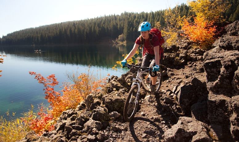
Assuming you’re after a one-way, full-length, downhill ride, start at the Upper McKenzie River trailhead, off Highway 126 just north of Clear Lake. The ride starts out with an easy warmup along the west side of Clear Lake – although you can skirt along the east side if you like riding through loose lava rock, and this will give you a glimpse of the natural spring that creates this legendary river. (Oh, and: yes, it’s early in the ride, but Clear Lake Lodge has some mighty tasty local-fruit pies; just letting you know.)
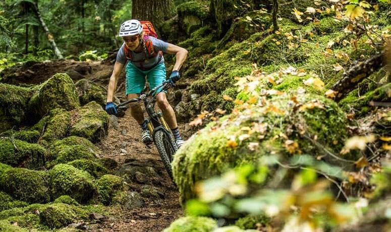
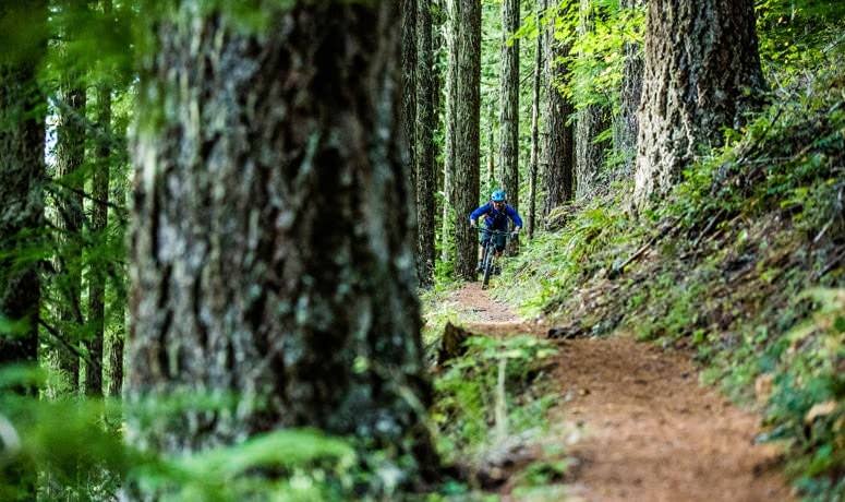
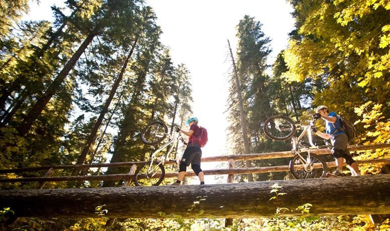
Below the lake, cross Highway 126 and gear up for a riding test. The trail stays on the west side of the highway and quickly becomes technical, featuring steep climbs and drops, rocks and narrow log bridges across tributaries. You’ll need both high- and low-speed handling skills, and as you consider how much risk to take, always keep in mind that the lava rock that lines the trail will shred your skin – and sidewalls – if you miscalculate or fail to execute.
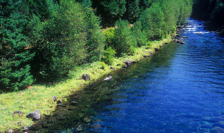
You’ll pass nearby Sahalie Falls (look, in the distance – tourists!) and then, after about 9 miles of green ferns and black volcanic rock, you’ll arrive at the famous Blue Pool (officially known as Tamolitch). The trail at this point is fairly high above the pool, but this is a prime spot to stop for a snack, meal or just contemplation of nature and beauty. The pool appears out of nowhere – the river has actually gone subterranean and re-emerged here. And, in case you think you’d like to climb down and take a refreshing dip, know that this is really, really cold water – like in the low 40s.
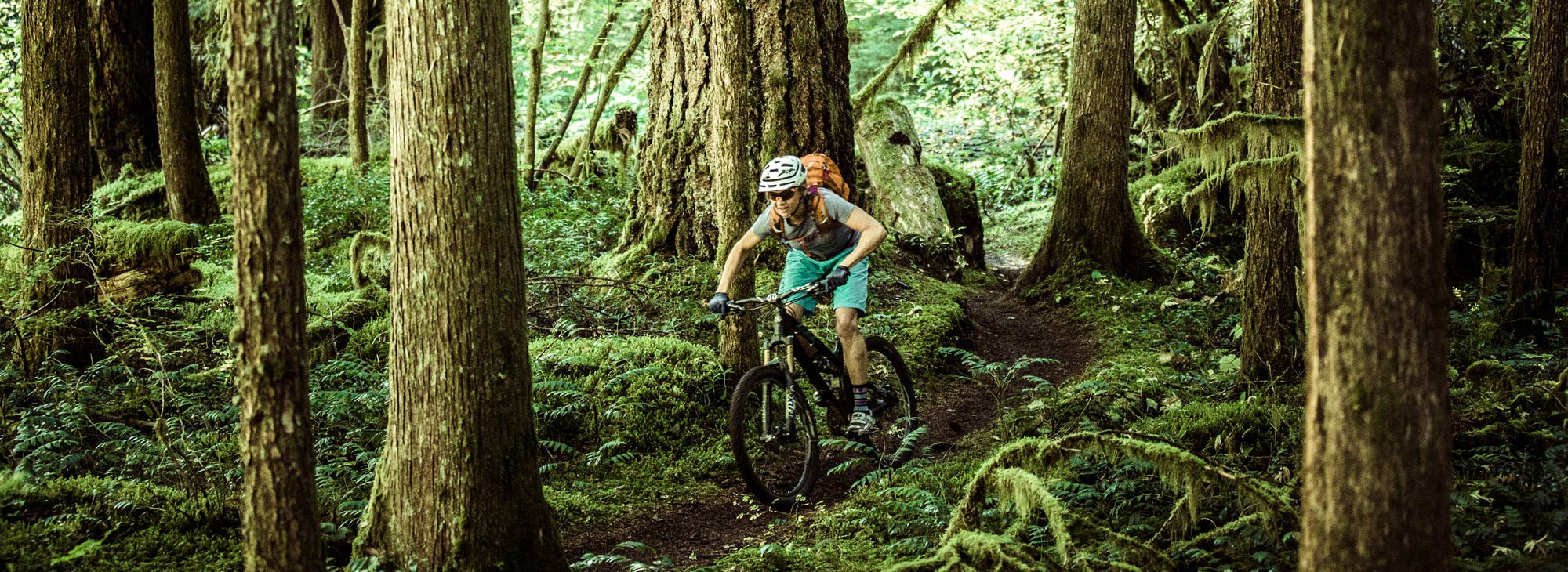
Past the Blue Pool, still more lava-rock-encrusted single-track awaits. But just as fatigue sets in and your reaction time starts to fade, you’ll reach the Trail Bridge campground, where the techy section ends and the buff tread begins. You still have 12 miles to go, but what a good time it is – you get to swoop and swerve between massive Douglas firs, get both short and long glimpses of the tumbling river, and see how long you can glide without having to pedal, on some slightly downhill sections (answer: a long time). Even though you may be a bit trail-weary, you’ll have no will to resist sprinting the last couple of miles of flowy, loamy single-track to the Lower McKenzie River trailhead.
Pull up, think back, and then try to list your top five moments from the trail. Bet you have to expand that to 10. This is why you ride in Oregon.