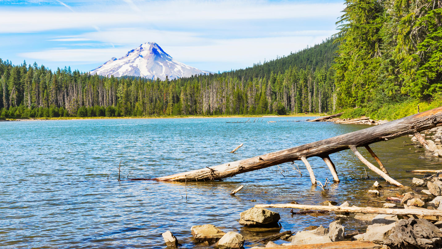
Hikers aren’t the only ones who need Oregon’s spectacular lakes to thrive. From the trout to the wildflowers, the water sustains the life that makes these places great.
But where there’s water, there are mosquitoes, too. While they’re a critical food source for hungry birds, bats and frogs, the time for feasting is over. Bring on the blissfully bug-free days of fall. Here are some tips and suggestions for taking a hike where only the views will gobble you up.
How to Find a Bug-Free Hike
Mother Nature is never easy to predict, but you can make a decent bet on how buggy a place might be based on temperatures and wind speeds. Mosquitoes get sluggish at around 60 degrees, and below 50 degrees they’re often too lethargic to harass you. A breeze as gentle as 4 mph can often keep mosquitoes down.
The National Weather Service out of Pendleton is a great resource for finding local weather around Oregon, as are Trip Check and MesoWest. The site compiles real-time weather data pulled from a vast network of monitoring stations all across Oregon. Select “All Networks” from the drop-down menu, refresh the map, then click on the station near your area of interest. You’ll find temperature and wind speeds from stations near places like Wickiup Reservoir, Lost Creek Lake and Wallowa Lake, to name a few.
A Quick Hike Without Bites Near Mt. Hood
Twin Lakes, which includes an upper and a lower lake, sits in the Mt. Hood National Forest and makes for a great quick hike in the fall on the Pacific Crest Trail from the Frog Lake Sno-Park, south of Government Camp. The trail climbs steeply for about a mile to the Twin Lakes Trail, which contours around Lower Twin Lake. Continue another 1.5 miles to Upper Twin Lake. Go back the way you came or make it a 7-mile trek by continuing north to rejoin the Pacific Crest Trail. You’ll need a Northwest Forest Pass to park.
These Central Oregon Lakes Are Worth the Wait
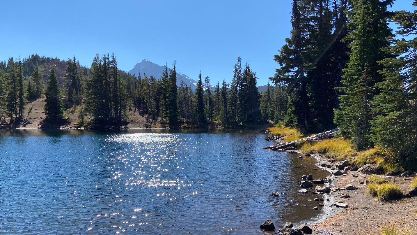
Doris Lake, near Elk Lake in the Three Sisters Wilderness, is notorious for mosquitoes in the summer, but come fall the bugs begin to die down. Start out at the Six Lakes Trailhead for a 5-mile out-and-back adventure that’s relatively flat. Along the way, you’ll pass Blow Lake before reaching Doris Lake at about 5,300 feet. The Mt. Bachelor conditions page will give you a rough idea of temperatures and wind speeds in the area. From June 15 to Oct. 15, you’ll need to pick up a self-issue wilderness permit at the trailhead.
On the north end of the Three Sisters Wilderness, the two Matthieu Lakes, North and South, sit above 5,700 feet and will cool off more quickly. Start at the Lava Camp Lake Trailhead for a 6-mile round-trip hike that gains about 820 feet. Walk south on the Pacific Crest Trail to reach North Matthieu Lake after about 2 miles. South Matthieu sits another mile beyond it. You’ll need to reserve a Central Cascades Wilderness Day-Use Permit before you go from June 15 to Oct. 15.
Enjoy the Best of Waldo Lake in the Fall
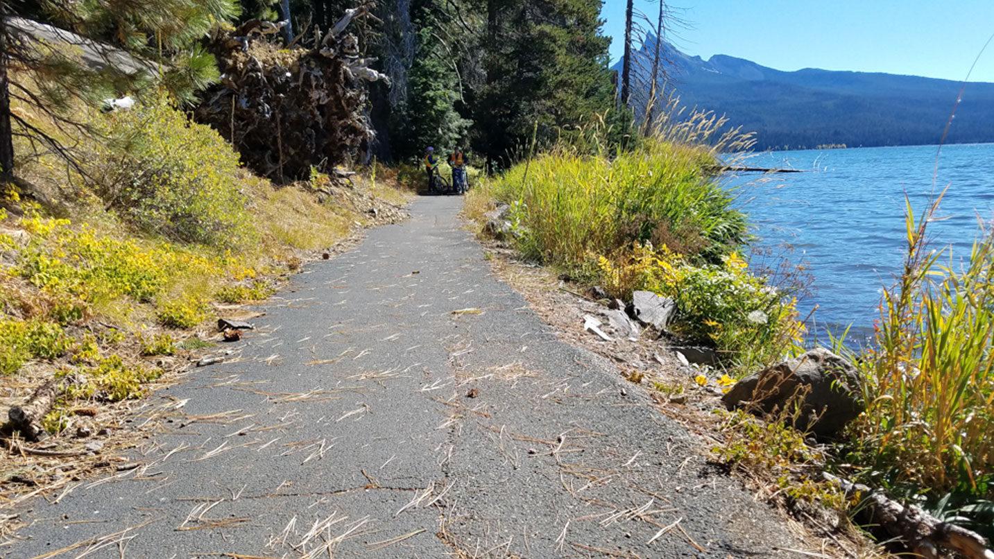
At just over 10 square miles, Waldo Lake north of Willamette Pass Resort is one of Oregon’s largest and clearest lakes. With great beaches, picturesque islands and a tranquil setting, it’s also known for impressive clouds of mosquitoes — until the fall, that is.
A 20-mile-long trail runs the entire circumference of the lake and is a great goal for mountain bikers. Hikers, however, should check out a section of the Jim Weaver Loop Trail, which is also called the Waldo Lake Trail or the Waldo Shoreline Trail. Start your hike at a parking area just south of the Shadow Bay Campground and wander north along the east side of Waldo Lake. You’ll pass the campground and end at a small beach just north of it. At only a mile long and relatively flat, it’s a great stroll for families.
Some portions of the lake remain off limits due to wildfire damage. Be sure to check with the Willamette National Forest for current closures, and don’t forget to get a Northwest Forest Pass.
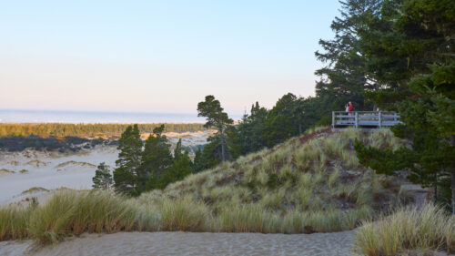
Accessible Hiking Near Crater Lake
Farther south, a stop at Crater Lake National Park is a must, but being so high at 7,000 to 8,000 feet, winter comes quickly. For milder conditions — including a paved path that’s great for all mobilities — head 20 miles north for Diamond Lake and its paved loop trail. The entire loop, formally known as the Dellenback Trail, shouldn’t be confused with the dunes of the same name on the Coast. It runs for about 11 miles from the Diamond Lake South Shore Trailhead, and the first half-mile is wheelchair-friendly. (Other sections can get a little steep, even though they’re paved.) The route offers awesome views of Mt. Bailey and Mt. Thielsen as it wanders through mountain hemlocks and meadows.