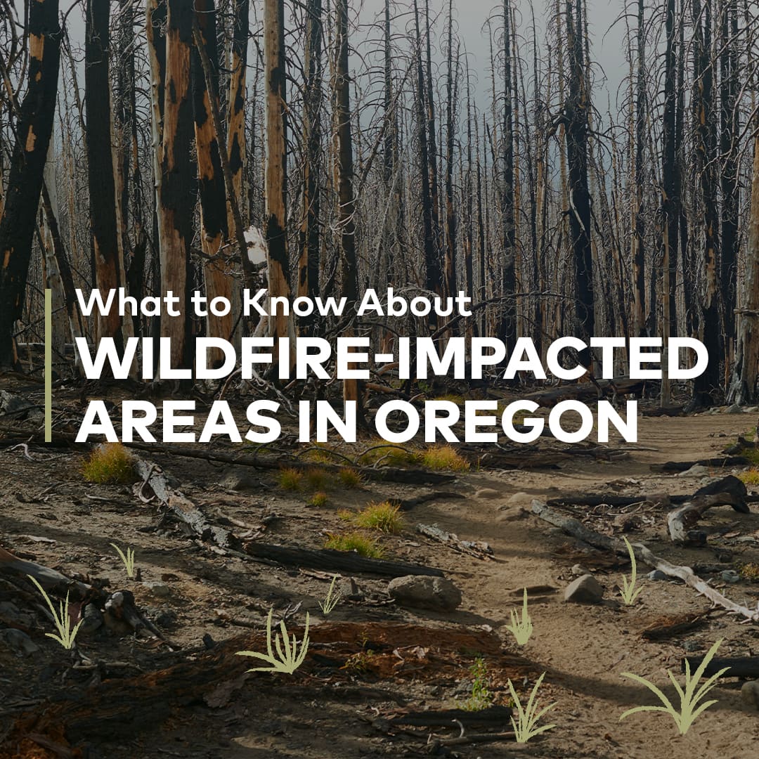
Top Things to Know:
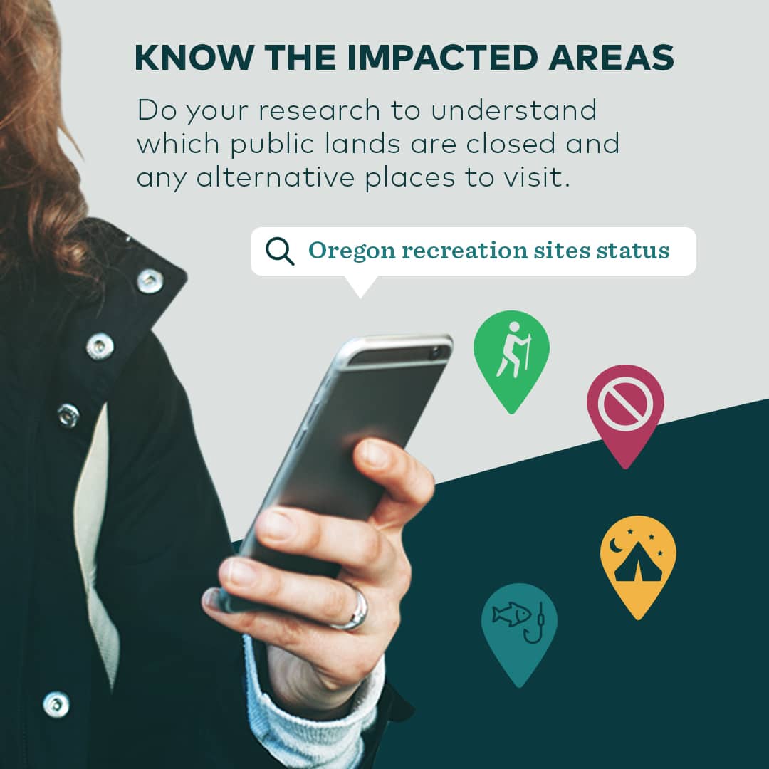
- Know the impacted areas
- Re-opened areas still include hazards
- Respect closures
- Stay on the trail
- Show your support
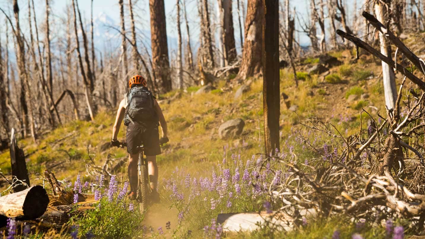
After unprecedented wildfires in recent years, we’re all ready to get back outside and enjoy our favorite natural areas. However before heading out, it’s critical for all Oregonians and visitors to know that even those areas that are re-opening are not risk-free. Burned areas take time to recover, and are home to many hidden dangers like falling trees and limbs, uneven or unstable ground from burned root systems, falling rocks and possible landslides, debris flows and flash floods. These areas are especially dangerous during high winds and during and after heavy rains, so it’s best to avoid visiting during these conditions.
“The scale of impacted areas has never been this large before,” says Jo Niehaus, a spokeswoman for the Oregon Office of Emergency Management. “People will be curious about places they’re used to going and what it looks like after a fire. But it’s not worth putting yourself at risk. If you do go out there and get injured or lost, getting recovery resources out there will be more difficult than a regular setting.”
With everyone’s help, these natural areas will regenerate and be open for safe adventuring again in years to come. Here’s what to know before you venture out this season.
Do Your Research
Understand which public lands are closed and find alternative places to visit.
Oregon’s public lands and waterways are managed by a network of agencies that share in the task of keeping them safe, beautiful and protected for generations to come. They also have different rules for visiting. Some may allow pets; some may require permits to visit; some may have reduced hours or limited visitor services, such as restrooms and drinking water. It’s important to know who manages the land you intend to visit — whether it’s the Oregon Parks and Recreation Department, Oregon Department of Forestry, Bureau of Land Management, Oregon Department of Fish and Wildlife, or another agency.
Before you go, check the travel alerts of your destination. The Oregon Recreation Site Status Map is one tool that shows whether an outdoor recreation site is open, closed or has reduced services. Another smart practice is to call the ranger’s office at the forest area you’re visiting, for any information about hazards or closures. Check the 48-hour weather outlook, knowing that conditions can change on a dime. If high or gusty winds are forecasted, don’t go into a burned area — standing dead trees and branches present serious risks of falling. If wind picks up during your visit, turn around and leave right away.
Sign up for emergency alerts in Oregon here.
For the fire-damaged areas that have reopened, expect a changed experience out on the landscape. This could include hard-to-navigate stands of burned trees or eroded slopes that lack signage or are missing sections of trail. It’s crucial to scan for overhead hazards such as rocks or trees at risk of falling; listen for high winds and falling trees, limbs and rocks; and watch out for stump holes, unstable ground and increased stream flows.
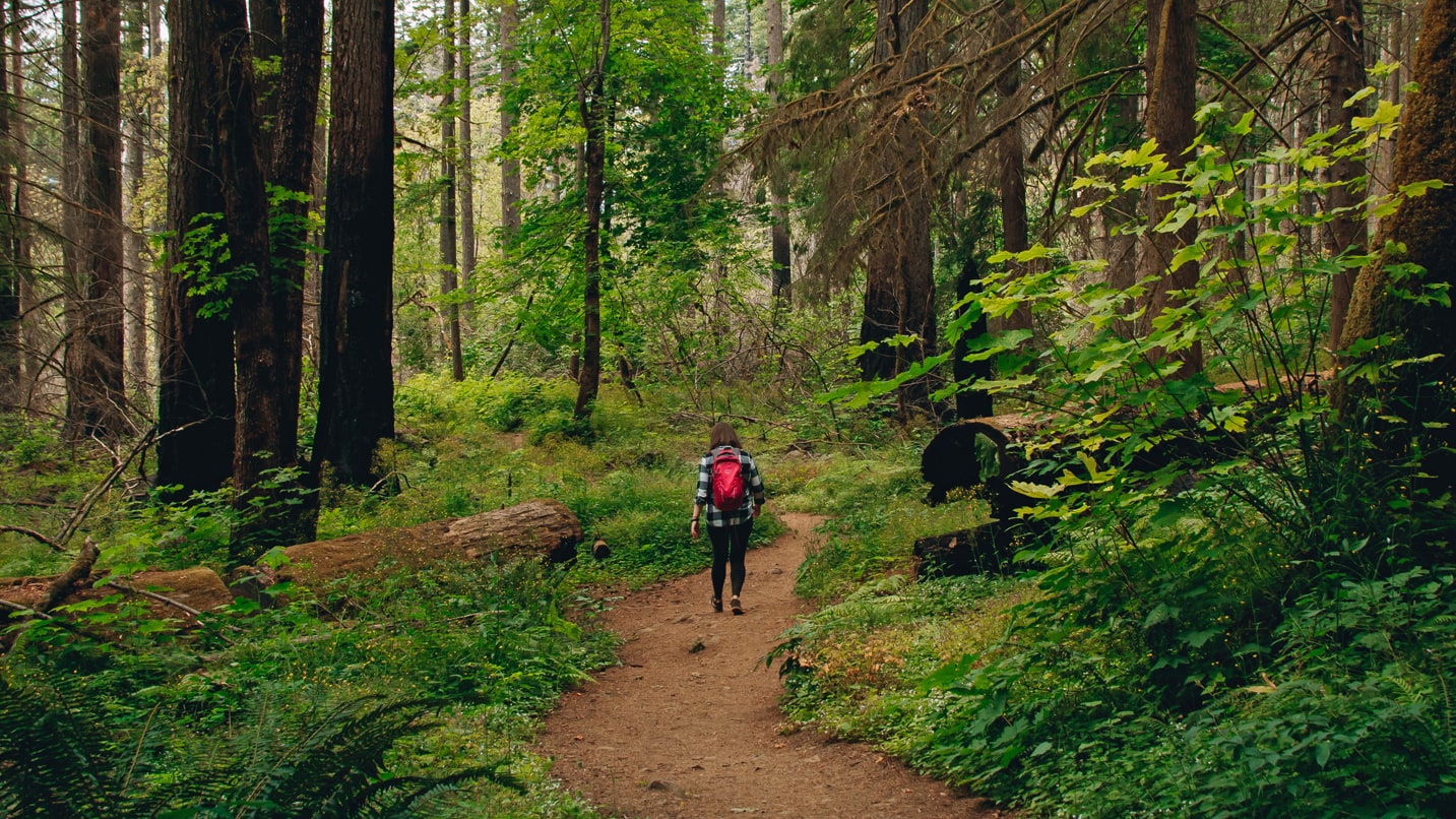
It’s always best to hike with a buddy. It’s also wise to leave a copy of your trip plan with friends or family, including the location of your car, your planned hiking route, expected return time and cell service/provider info.
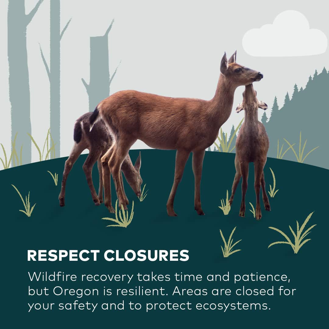
Respect Closures
Your compliance (and patience) will help recovery efforts.
If your destination closed, look for an alternate site to visit. Making memories at a new trail, campground or waterway is a great way to broaden your pool of Oregon adventure spots. You can take heart knowing that while you’re away, the burned areas are taking the time to recover, regrow and open up new types of geology and ecological habitat.
“If the area is closed, it’s closed,” says Niehaus. “That may be due to habitat restoration, hazardous trees or other hidden dangers that could harm you and your family. It could be due to reconstruction work underway, and your access will impact the work being done. It’s important you abide by the closures and follow Take Care Out There practices.”
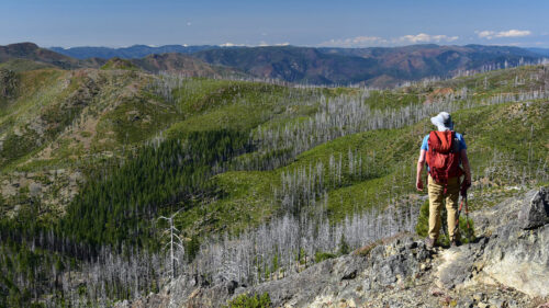
Even reopened areas present risks. For example, the Eagle Creek Trail in the Columbia River Gorge took three years to reopen after the 2017 wildfire. Two weeks after reopening in January 2021, it temporarily closed again due to erosion damage from heavy rainstorms. Eventually, burned areas will recover and be stunning places to visit once again.
Wildfires are a natural occurrence on the landscape, but natural areas impacted by the recent wildfires may take many years to recover due to the severity and size. Agency partners are assessing the impacts and integrating long-term resilience into the recovery efforts.
Wherever you do visit, be aware and be patient. There may be route detours due to downed trees or construction crews. Also keep your eyes open for any culturally significant artifacts that may have become unearthed by flooding, and don’t disturb it. If you do find anything that might be significant, contact the Oregon Heritage State Historic Preservation Office.
Find more handy tips for safety in burned areas from the U.S. Forest Service.
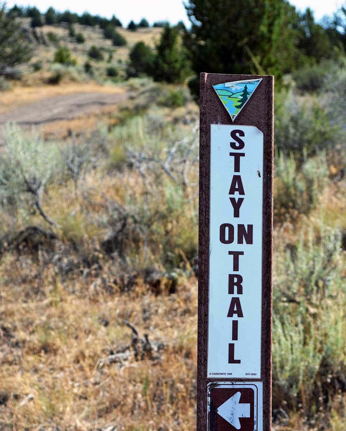
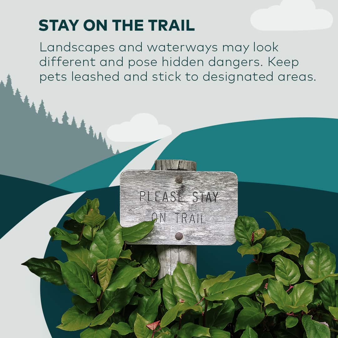
Stay on the Trail
Follow designated trails for the safety of you and the land.
Landscapes and waterways may look different and pose hidden dangers like hard-to-navigate stands of burned trees or eroded slopes that lack signage or missing sections of trail. Burned areas can also have an increased likelihood of landslides, mudslides, flash floods and debris flow
Keep pets leashed and stick to marked trails. By doing so, you’ll avoid getting lost. You’ll also be letting the natural areas develop without adding to soil erosion. And you’ll be letting seedlings grow in areas where they need to be left alone to thrive.
“To be safe when you go out, make sure you know where you’re going,” Niehaus says. “It’s always good to have a buddy. Have a Plan B in case it’s too crowded.”
If you need to step off the trail temporarily to allow for safe passing by other hikers, tread lightly.
If you do get lost, stop where you are if your surroundings are safe. Refer to your map or GPS to try to figure out where you are. If you are on a trail or road, stay there — it will increase your chance of being found. If you have cell phone reception, call 911 and ask the dispatcher to try to get a GPS location from your phone. Restrict your phone use to essential calls — use text messages instead. Don’t use your phone as a flashlight — this will drain the battery, and you may need it later. Stay warm by adding layers from your pack.
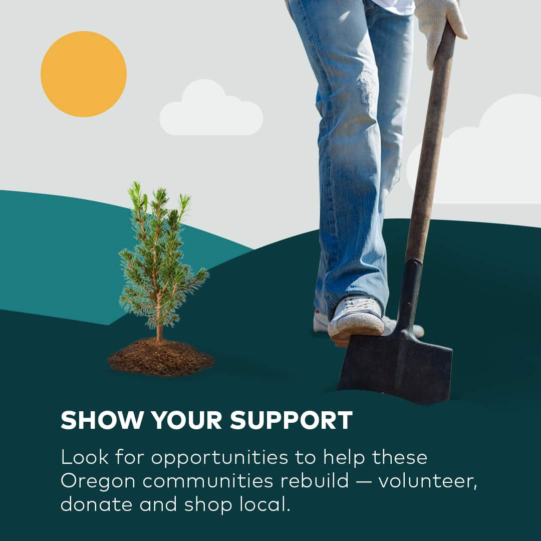
Show Your Support
Consider pitching in to assist impacted communities.
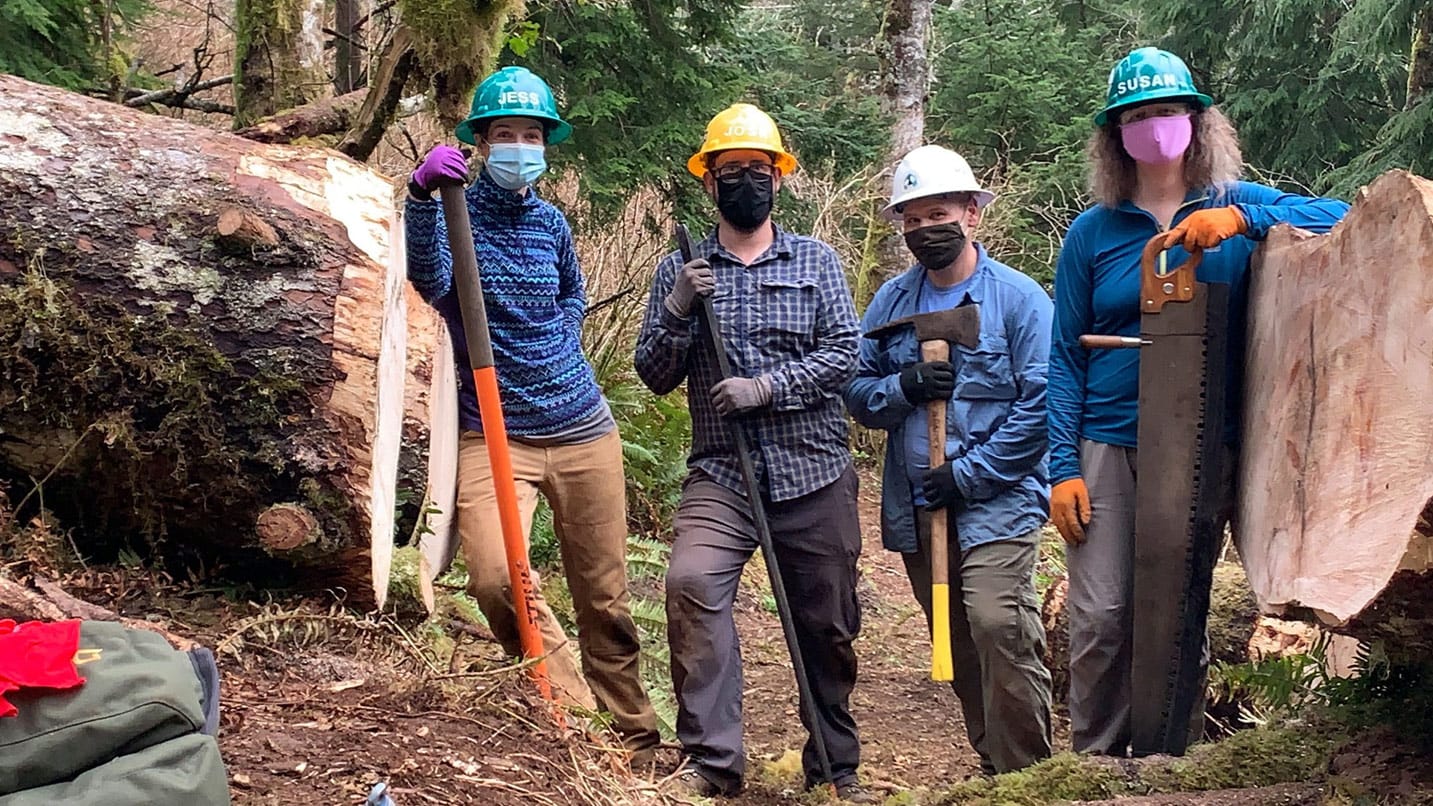
Look for opportunities to help these communities rebuild — volunteer, donate and shop local.
Nearly all of today’s hiking trails were built more than 80 years ago, and almost all of them are maintained by volunteers, including the statewide network Trailkeepers of Oregon. Locals or visitors can sign up to join a trail party, be a trail ambassador, join their Trailkeepers University program or donate funds to help with restoration efforts.
To support the McKenzie River area in particular, you can sign up to help plant trees, restore a watershed, remove invasive species, work in a native-plant nursery or help with more efforts organized by the McKenzie River Trust.
If litter removal is your thing, SOLVE holds events statewide year-round inviting volunteers to help beautify trails, parks, beaches, creeks and downtown streets. You can also help with planting efforts to restore habitat for salmon and wildlife. Volunteers at all events must wear face coverings and maintain 6 feet of physical distance.
You can lend a hand with your pocketbook, too. Oregon Parks Forever is raising money to plant at least 1 million trees to ensure these burned areas will be lush once again.
We’ll have the opportunity to reimagine the connections between communities and their public lands and waterways in the years to come. Your continued support now and in the future will make a difference.