This bracing 44-mile ride carries you over alpine ridges, rocky paths, logging roads, packed gravel, river-crossings and calm, smooth pavement – and through an elevation gain of over 4,500 feet – as you cover some of the path pioneers took to settle Oregon 150 years ago. Those hardy folks had to take on whatever lay in their path, and so will you. With this variety, you will not be bored.
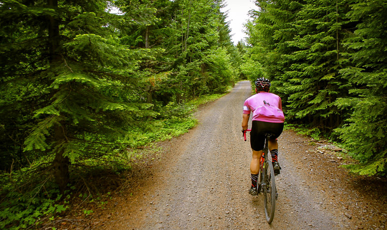
From Barlow Pass, start with a bit of history as you go southeast toward Keeps Mill on the historic Barlow Road/NF-3530. The Barlow Road allowed pioneers and their wagons to avoid the treacherous and expensive float down the Columbia River on the final leg of their journey west. Enjoy the exciting four-and-a-half-mile descent, and expect loose rocks, roots, ruts and soft dirt topped with fallen needles. You’ll level onto sandy doubletrack near Barlow Creek before finding pavement after a couple miles, and then alternate between hard-packed gravel, pavement and a rough, loose rocky Jeep trail.
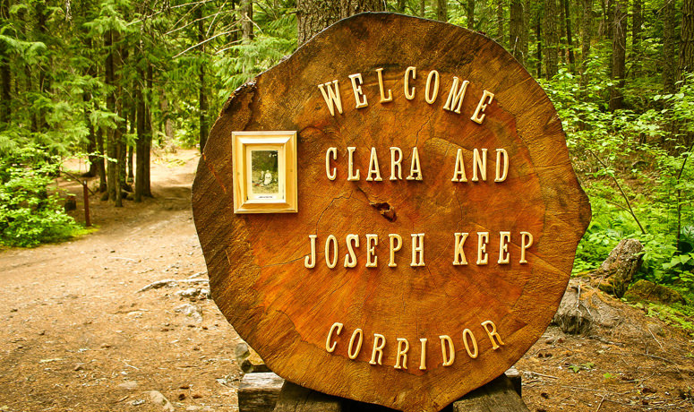
At about the halfway point – also the lowest point of the route – is Keeps Mill Campground, where on a hot day you might like to indulge in a cooling dip in the Clear Creek swimming hole.
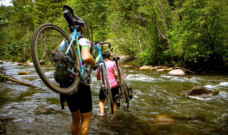
How you choose to cross the White River will likely depend on the time of year: a log crossing will be the best bet when the water is swift and cold, but late in the summer season, a wade through will feel refreshing, even if it’s icy. You’ll find a reasonable crossing point in the lower portion of the campground, where the roadbed angles down.
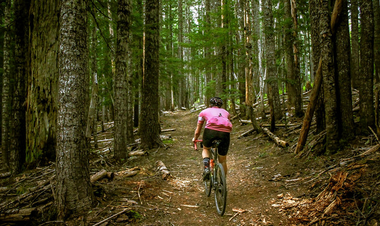
Once you’re across, start climbing. In the spring, you’ll be greeted by beargrass and other wildflowers in the meadows. The surface fluctuates some more, from a steep and rocky ascent (at a 12 percent grade!) to smooth, gently climbing doubletrack and then back to a good old gravel-grinding climb that also includes stretches of loose rock and rutted dirt.
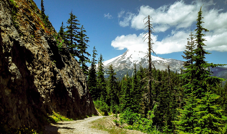
Take a minute to celebrate at mile 35, just past Bonney Meadows, because you’ve reached the highest point of the route. Now it’s time to break out your descending skills. Navigate some boulder-strewn scree, descending the ridge in a mix of shady forest and bright, wide-open vistas. Don’t forget to stop once in a while so you can take your eyes off the next 20 feet and drink in some spectacular views: to the north and east, trees march shoulder-to-shoulder up and down ridges and practically require you to stop and admire their postcard-perfect views. Mount Hood poses spectacularly to the west and reminds you why you take these epic rides. Keep your eye out for a brief, impressive view of Mount Jefferson to the south.
Roll down the ridge in a gradual descent to the Bennett Pass Sno-Park parking area, rolling smooth pavement back to the Barlow Pass parking area. Like a cycling pioneer, you’ve taken on a series of challenging terrain and surfaces, and overcome everything with only your strength and skills. Did the pioneers get a cold beverage at the end of a hard day? You should.