Whether or not you pan for gold, you’ll strike it rich on this 45-mile/72-kilometer scenic canyon drive through western Oregon’s historic mining country.
Riddle
Your tour begins 21 miles/33.7 kilometers south of Roseburg at I-5’s exit 103, the only place to fuel up along the route. Follow Riddle Bypass Road toward Riddle, where the arrival of the railroad spurred on the area’s mining operations. You can still see remnants of the town’s nickel mine and mine tailings as you drive past lumber mills, ranches and farms.
Before leaving Riddle, you might want to pick up a gold pan — a shallow, flat-bottomed metal pan (3 inches deep or so) with flaring sides. Some of the local hardware stores carry them.
Riddle to West Fork
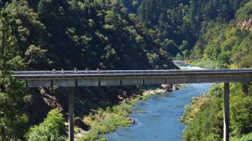
The route parallels Cow Creek and the route of the original Oregon and California railroad built in the 1870s. Many historic railroad structures still stand, such as Tunnel Number One.
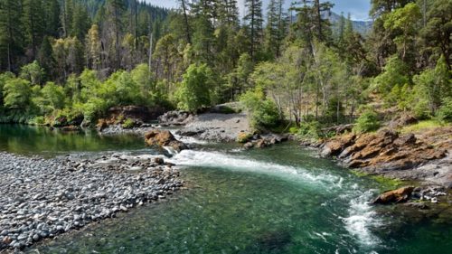
Past the tunnel, visitors will find the public Recreational Gold Panning Area in Cow Creek. Gold originates in veins in the mountains, then washes into creeks in spring rains. Geologists estimate that gold-rush miners found only about 25 percent of Oregon’s take. This area also includes private mining claims, so it’s important to know before you go. Contact the Roseburg District Bureau of Land Management for details about recreational gold panning.
West Fork to Glendale
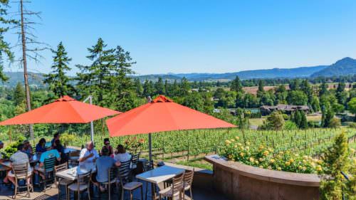
Even if you don’t pan for gold, you can profit from the scenery as you continue this tour route through fir forest and under ragged buttes and mountains. Waterfalls and wildflowers put on a show in spring, while autumn turns the hardwoods fiery gold and red.
Continue along Cow Creek Road to Glendale, where volunteers are restoring the lovely 1901 Springer Martin House. The tour route ends just a couple of miles beyond town, where you can rejoin I-5 at exit 80.
Want more details?
Order a free Oregon Scenic Byways guide, or view a map of the Cow Creek Tour Route online.